Background
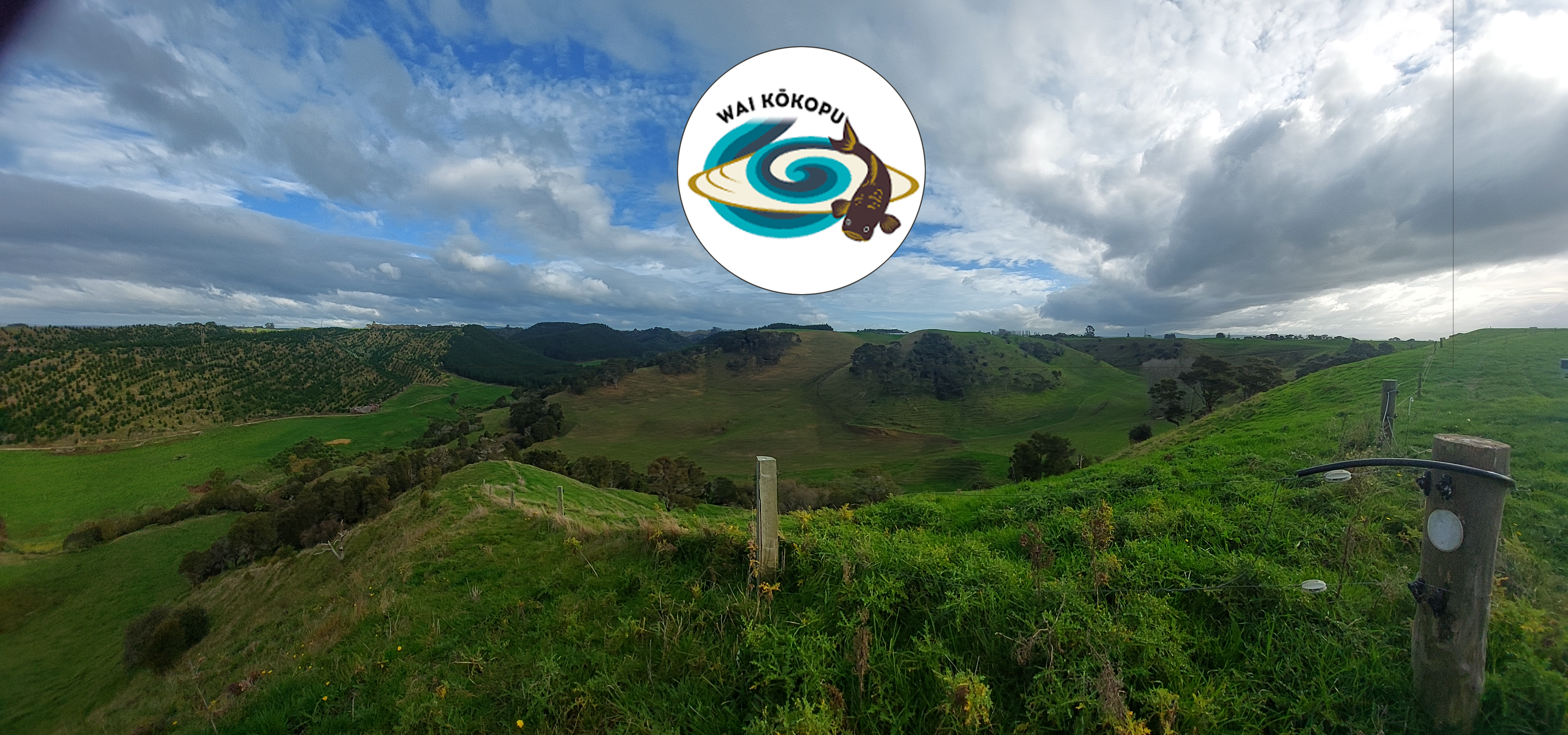
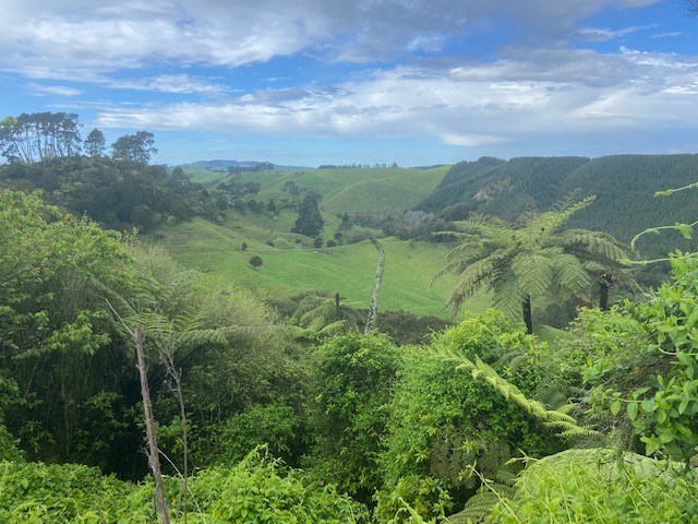
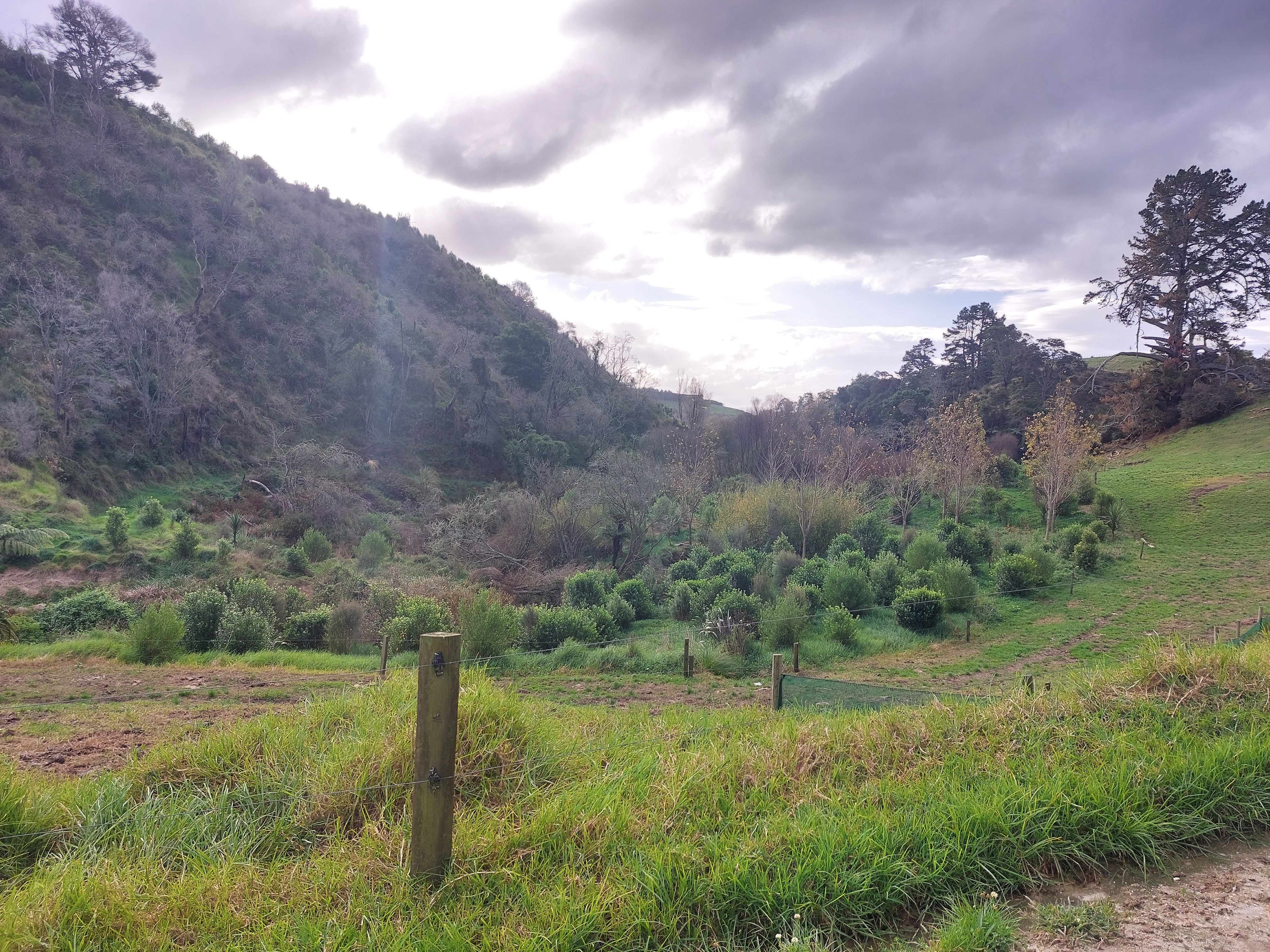
The Little Waihī Estuary drains into the sea near the coastal settlement of Maketū, located between the cities of Tauranga and Whakatane. The Wai Kokopu (catchment group) programme is funded by the Ministry for Primary Industries, Bay Trust, Tect Community Trust and the Bay of Plenty Regional Council. It is working collaboratively with local farmer landowners, Tangata Whenua, central government, and industry and community groups to halt declining estuary health and restore water quality in the Little Waihī Estuary and the sub-catchments that drain into it. The total area of the catchment is 346 square kilometres, or 34,630 hectares. Land drainage, development and land-use intensification since the early 1900s have all contributed to a gradual decline in estuary health.
Wai Kōkopu programme challenges
Loss of sea grass and excessive algae growth has made the estuary less suitable for birds and fish to live, breed and feed in. There have also been unsafe levels of bacteria identified in shellfish and a 2018 cyanobacteria (potentially toxic algae) bloom, that resulted in public health warnings. Water quality has declined, including an increase in oxidised nitrogen which promotes algae growth. Shellfish, crabs and worms living in the estuary bed have also reduced in amount and variety.
The solution
A range of skilled specialists in forestry, pastoral farm systems, mapping, ecological health and water quality contributed to the Wai Kōkopu programme's data collection. This provided a complete picture of the whole ecosystem, enabling a better understanding of the water quality, the status of fish and bird life and the risks posed to public health. Analysis of the data identified opportunities for planting and restoring wetlands, so that birdlife can be nurtured, fish and animals can return and thrive, and public health risks are reduced.
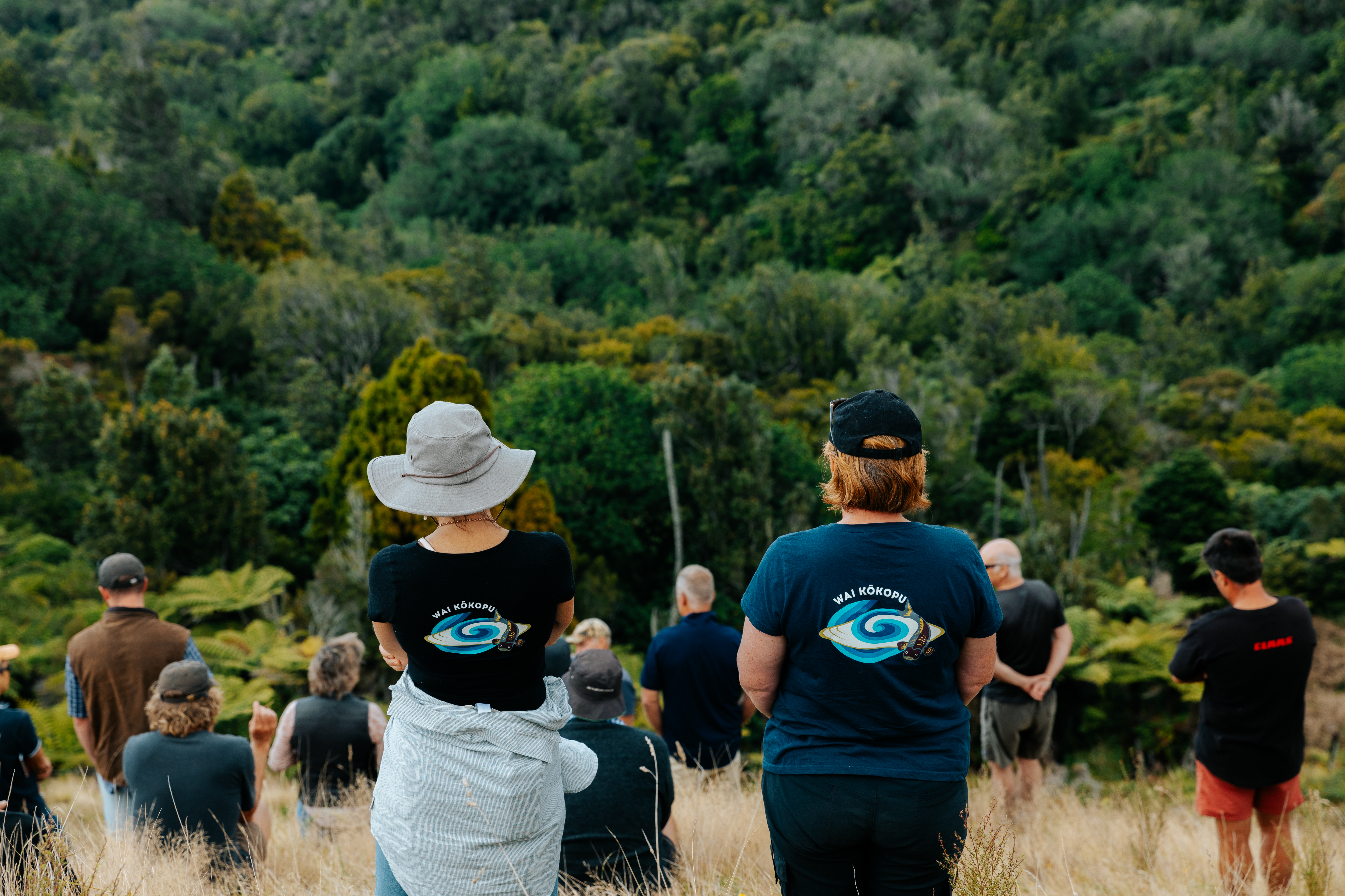
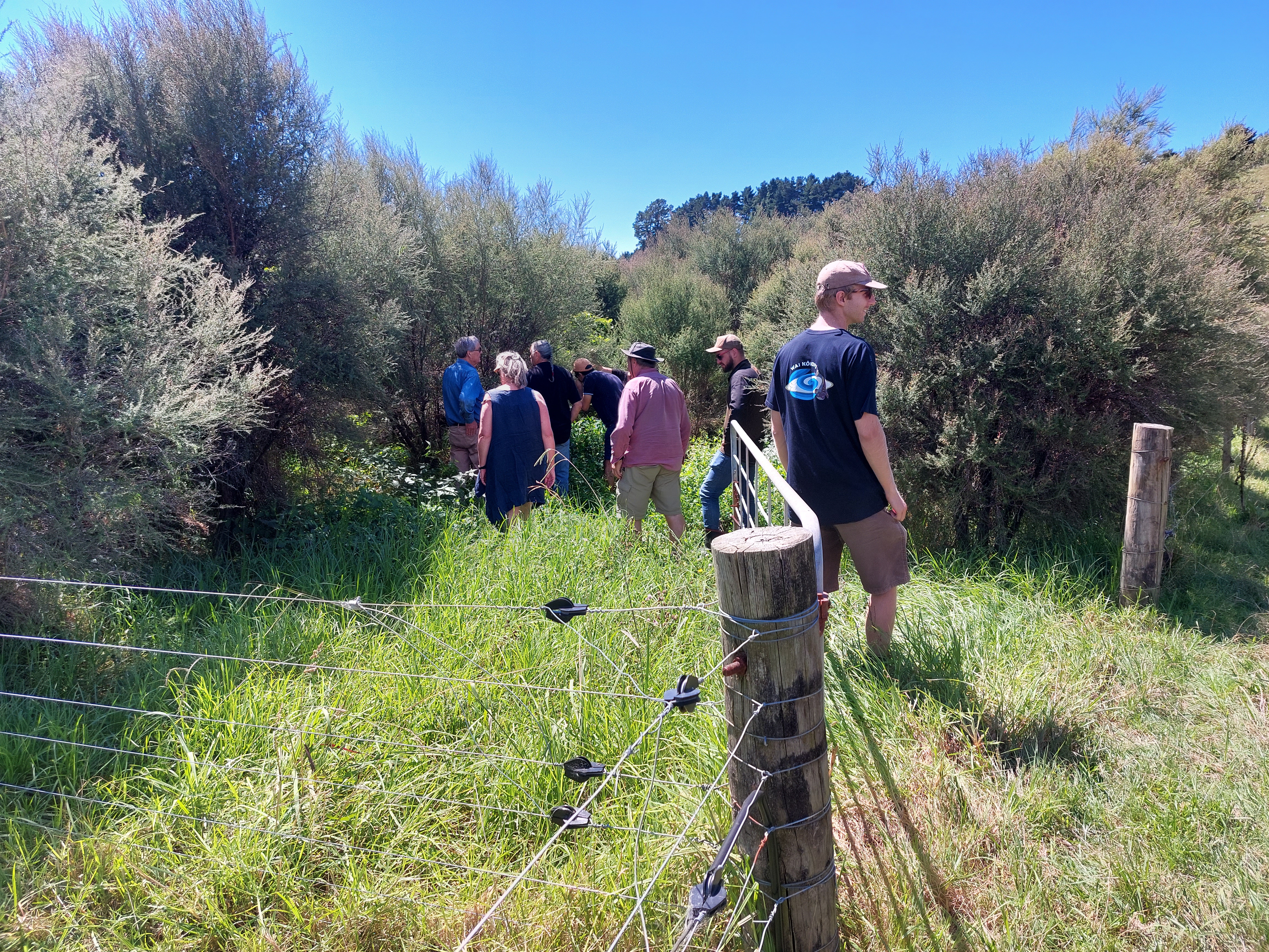
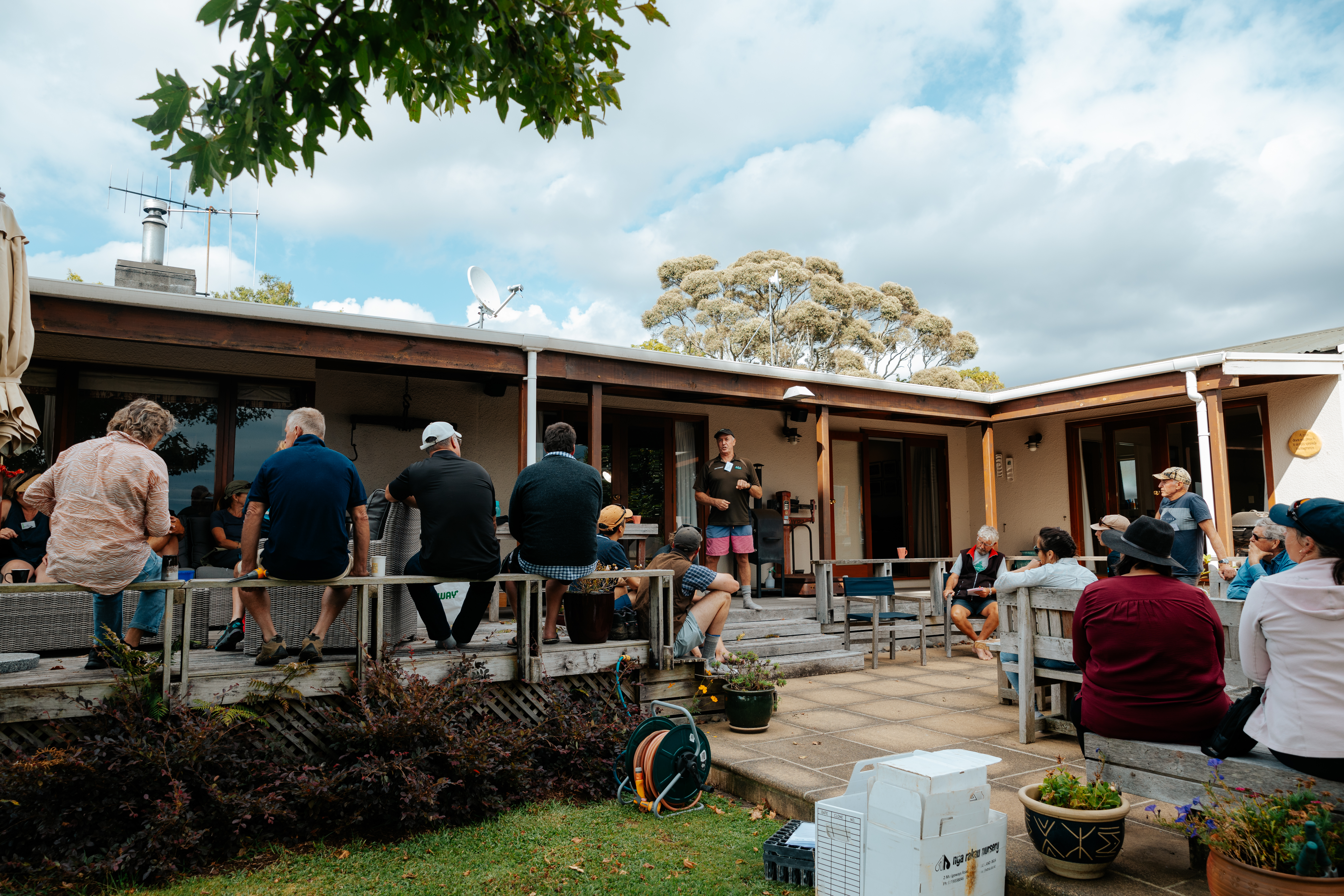
The programme had already been operating for two years when Dr Debbie Care, director of her environmental consultancy AgVice, and her team were commissioned in early 2022 to create customised, integrated digital farm plans for a group of five farmers within the Pongakawa sub-catchment. These five farmers are part of 15 pilot 'lighthouse farms' operated by leading farmers within the catchment.
Prior to AgVice's involvement, lighthouse farmers were provided with a farm health score card prepared by Tipu Whenua consultants.
AgVice's new interactive digital farm plans for the five farmers provided a practical way to identify, manage, and reduce the impact of farming in their catchment area. The actions identified in the plans are specific to each farm. They build on the hard work that farmers are already carrying out to address risks to freshwater and freshwater ecosystems. Each farmer has slightly different ways they can reduce their farm's footprint (nitrogen, phosphorus and pathogen loss risk and GHG emissions).
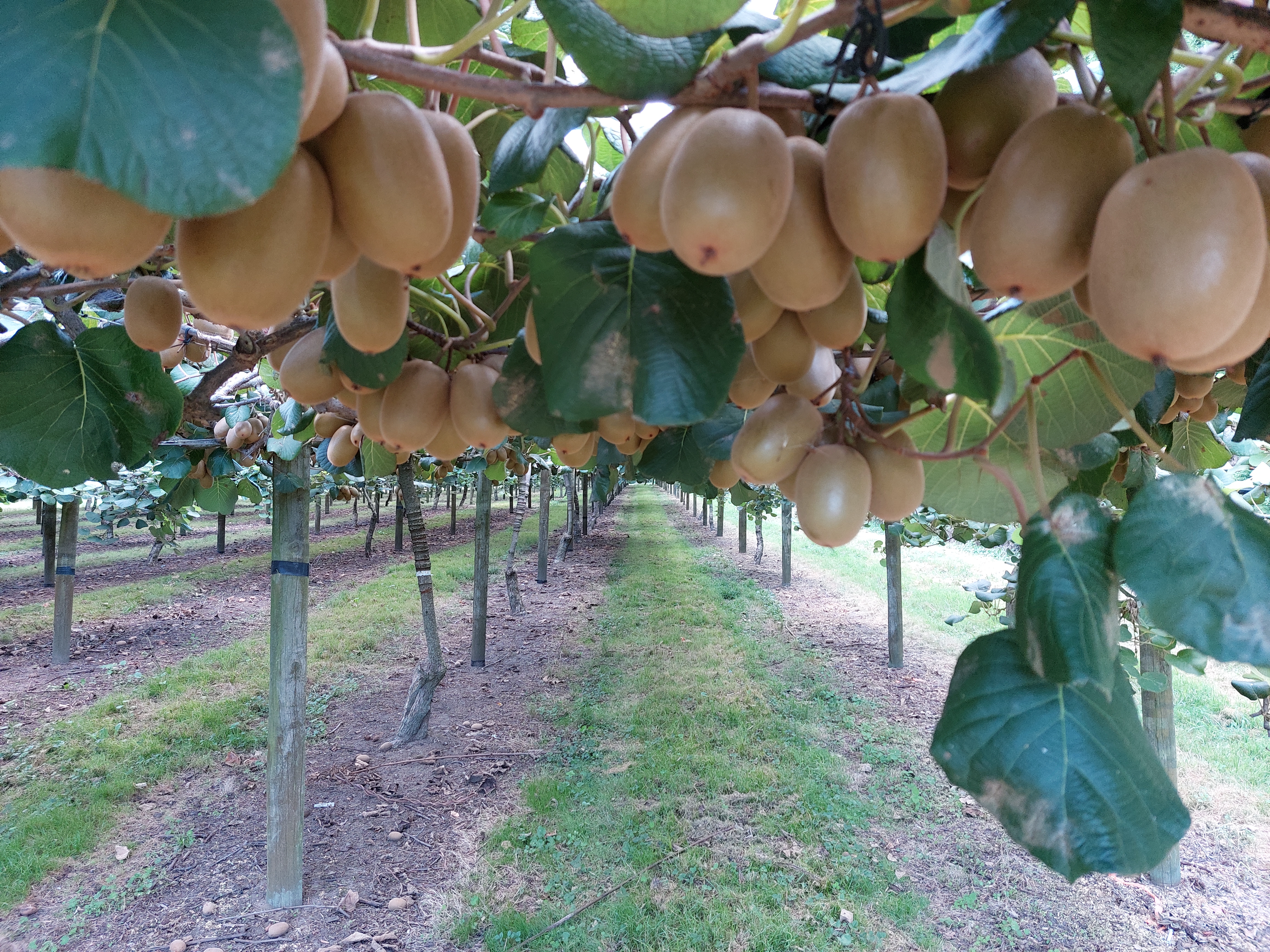
'Common elements in the farm plans included finding ways to lower synthetic nitrogen use on their farms in order to reduce nitrate and phosphorus levels in the estuary,' says Dr Care. 'This involved assessing use of multi-species on productive landscapes. We also identified which areas were best removed from intensive production and replaced with orchards or other types of planting.'
AgVice's plans also included recommendations such as stopping grazing on slopes where there was evidence of accelerated soil loss and the land was not very productive. Such slopes might be better suited to alternative crops, such as extensive pastoral use or native or exotic afforestation.
'Sometimes the work requires a land management change. We looked at the possibility of retiring any land areas above 26 to 36 degrees and instead considered tree planting or forestry as an alternative option. The plan may not always involve retirement of sections of land, it could involve a recommendation to graze fewer animals, or lighter-weight animals, or to graze sheep or goats on a particular section,' says Dr Care.
AgVice's work for the five lighthouse farms in the Wai Kōkopu programme took around eight months. Together with the other transdisciplinary advisors, they are continuing to work with these farms as needed. Individual farms were measured in years two and three of the programme and showed a moderate to high reduction in fertilser usage. Cumulatively, over 200,000 trees have been planted and 210 hectares of steep land retired. It is hoped that incremental changes will result in cumulative improvements in the health of the catchment over the long term.
Lighthouse farm example
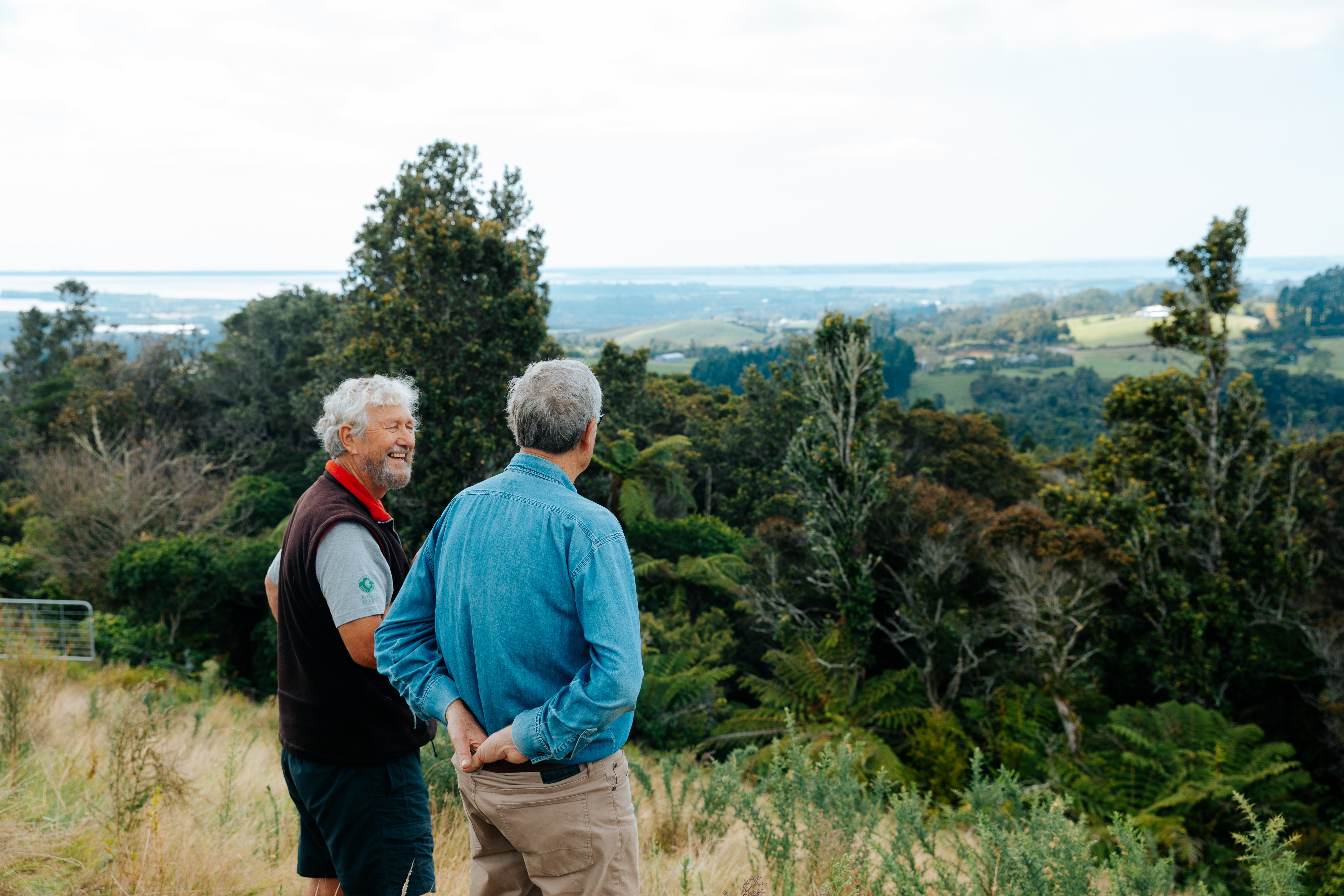
One of the lighthouse farmers the Wai Kokopu team worked with runs two complementary farm blocks for beef finishing. His main focus is on soil health and biodiversity of species above ground, as well as how this affects the biodiversity underground. He avoids synthetic fertiliser and has transitioned the farm from a high nitrogen use, highly cultivated block into a low nitrogen system of diversified species that are active in summer and deep rooting. He is considering planting diverse species on all the easy country to ensure there's enough to maintain a consistent diet for animals being fed over the summer months.
ArcGIS was an invaluable tool in creating digital farm plans
AgVice used ArcGIS Instant Apps to visualise changes in data on the farms over time. They also used ArcGIS StoryMaps and Experience Builder platforms to create with layered data and maps in an easy-to-understand, compelling interactive visual story about the work AgVice carried out with farmers in the Wai Kōkopu programme. This interactive digital story shows the catchment, what is being done to address the issues, as well as the participants.
'Putting data in a place in space, such as the catchment, was a key concept for the work,' says Dr Care. 'We droned the landscape in a staged process and enabled the farmers to tell the stories of their journeys and successes in StoryMaps where data can be shown in layers on one page.'
AgVice used the StoryMap Journal app template to create a map-based narrative organised into a set of journal entries. This app also enabled AgVice to create compelling multimedia stories that combined text, graphics and maps. By incorporating imagery into online mapping, AgVice could accurately pinpoint where work was taking place on each of the five lighthouse farms. For example, map layers can show the relationship between slope and water flow if cattle are congregating in low-lying areas, as well as the impact of these contaminants.
AgVice was named winner of the New Zealand 2023 Esri StoryMaps competition for the presentation about their work for the Wai Kōkopu programme. The prize includes return flights for AgVice director Dr Care to attend the Esri User Conference 2024 in San Diego.
'We're still buzzing about the win,' she says. 'Interactive visual representations of data in StoryMaps can facilitate change because they help people to better understand the work we're doing. It helps land users to understand the landscape and make the appropriate changes. This in turn helps councils and central government to achieve results that will benefit our environment.'
ArcGIS tools used:
ArcGIS Pro
ArcGIS Online
ArcGIS Instant Apps
ArcGIS StoryMap Journal
Experience Builder
 |
 |
 |
 |
 |
 |
 |
 |
 |
StoryMaps can facilitate change because they help people to better understand the work we're doing