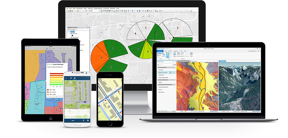
GIS Products
Eagle Technology is the official distributor for Esri in New Zealand, and the South Pacific region
Esri’s ArcGIS platform enables you to discover, use, make, and share maps from any device, anywhere, at any time.
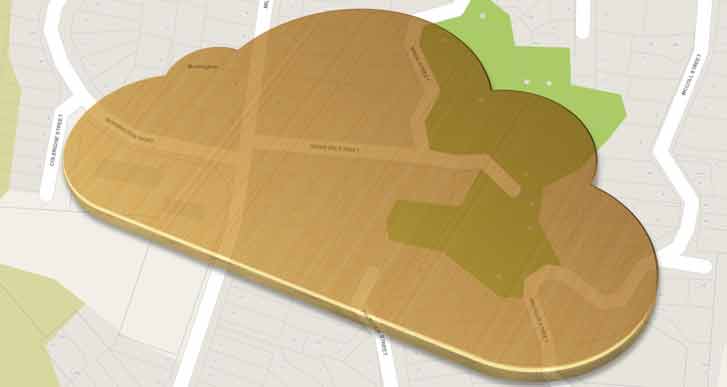
Eagle Technology's cloud enablement team can identify, deploy and manage a cloud-based solution for GIS clients that need a hybrid solution to manage their instance of the ArcGIS platform across the organisation.
Clearion’s technology helps solve complex infrastructure maintenance and construction workflows. From supervision to design, planning to the crew, Clearion delivers across multiple user platforms including web, desktop, tablets, and other handheld devices.
Clearion is a leader in end-to-end technology solutions designed to help companies radically transform their work environments, strengthen communication among workgroups, and serve their customers more effectively. Clearion works with leading utility, telecom, gas, and transportation companies across the globe to solve complex operational challenges—and provide highly innovative solutions to aid in the design, construction, and maintenance of utility assets and large-scale infrastructure. Clearion is a Gold Tier member of the Esri Partner Network.
Supporting asset management across the enterprise.
ArcFM™, based on the industry-leading Esri ArcGIS platform, consists of a family of configurable models and a set of sophisticated tools designed to provide a highly efficient asset management solution for energy and water/wastewater utilities.