Instantly access current, high-resolution aerial imagery of urban areas across New Zealand. 

Get the power of insights without the inconvenience of site visits.


SHARPER THAN THE BEST SATELLITE MAPS

And frequently updated, too. Nearmap captures high-resolution aerial imagery across New Zealand multiple times per year. New aerial images are processed and streamed to the cloud within days. Get instant access to all current imagery and historical aerials, accurately georeferenced to show you truth over time.

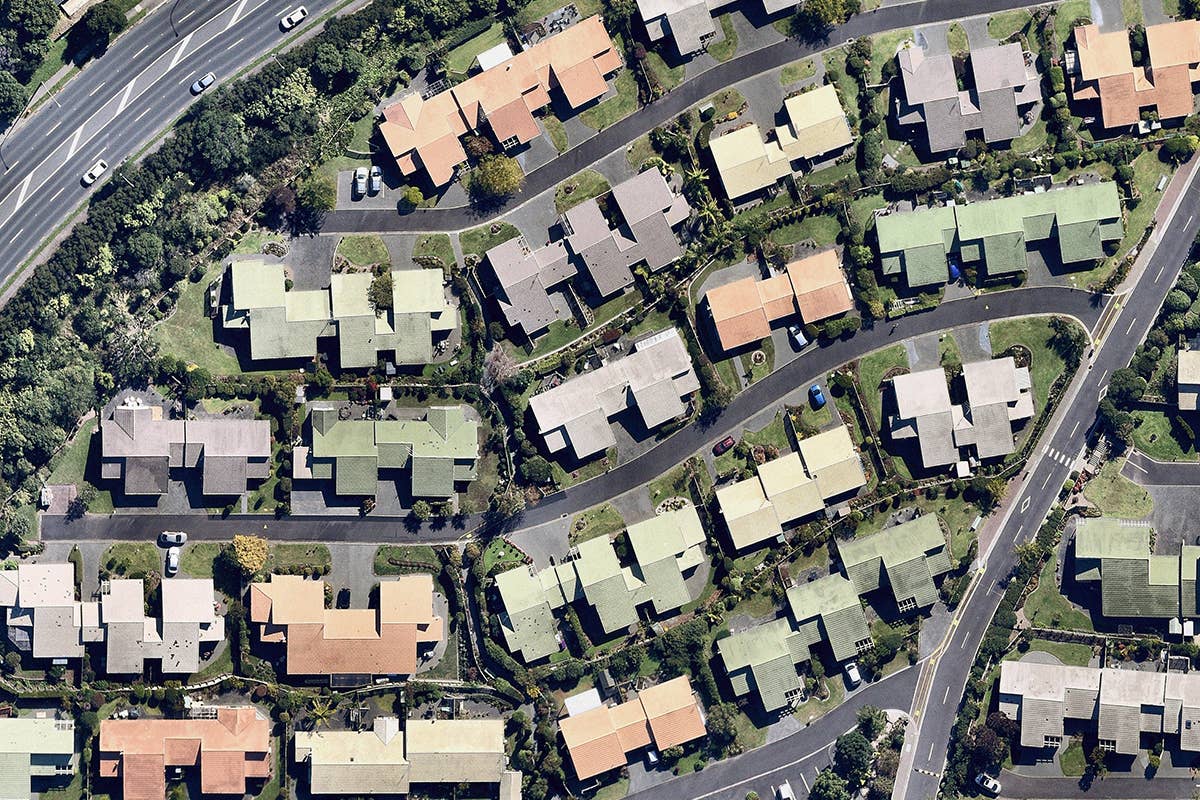
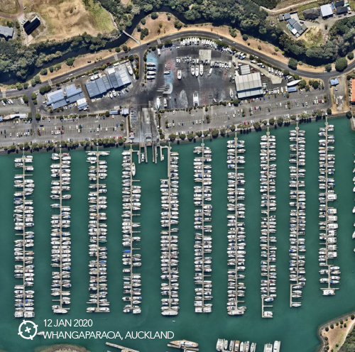
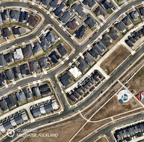
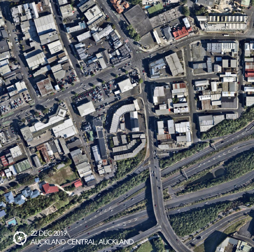
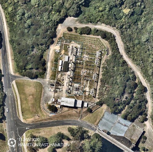
View the incredible detail you've been missing. Satellite images are often blurred by weather or atmospheric conditions. Nearmap captures high definition aerial photos under the best possible conditions, so you can understand the critical details of your project or asset.

Eagle Technology partners with Nearmap to bring easily accessible imagery to our customers including those in Government, Local Government, Utilities, and Architecture, Engineering, and Construction sectors.

CURRENT & CONTEXTUAL

Instantly understand the status of your location with imagery that's refreshed frequently, up to twice a year. Conduct detailed change analysis with Nearmap historical archive, and add time as a critical fourth dimension.

COMPREHENSIVE

Nearmap likely has what you need today. Yearly subscriptions cover current, future, and historical imagery for 14 urban and regional metro areas, including cities and suburbs comprising 73% of the New Zealand population — surveying 18,890 square kilometers annually.

CLEAR

View a consistent level of detail that enables confident measurements and decisions. Nearmap aerial imagery is consistently 6cm GSD (ground sampling distance). You get unrivaled clarity, precision, and fine features that are several times sharper than free satellite images.

Aerial imagery has application across businesses from small to large. Recent maps power today's industries and bring future projects to life. Easily integrated with ArcGIS, aerial imagery is used by, but not limited to the following sectors:

Government

Inspect or assess properties remotely, formulate emergency response plans, visualise urban change over time, plan and monitor large infrastructure projects, and promote transparency to ensure community buy-in for public works projects and other initiatives.

AEC

Architecture, Engineering, and Construction - Conduct thorough virtual site surveys so you can compare before and after images for critical events, anticipate safety equipment needs, estimate materials requirements, plan heavy vehicle access points, and determine crane clearance requirements.

Transport

Plan and budget efficiently for capital works and maintenance programs with asset maps that are verified and up-to-date. View and inventory equipment remotely. Give staff mobile access to current imagery so they can respond quickly from out in the field.

Utilities

Turn large-scale infrastructure challenges into manageable projects with visual data to conduct accurate risk analysis, plan tower placement, ensure regulatory compliance, monitor field assets, and keep stakeholders informed during each project stage.

About New Zealand Coverage

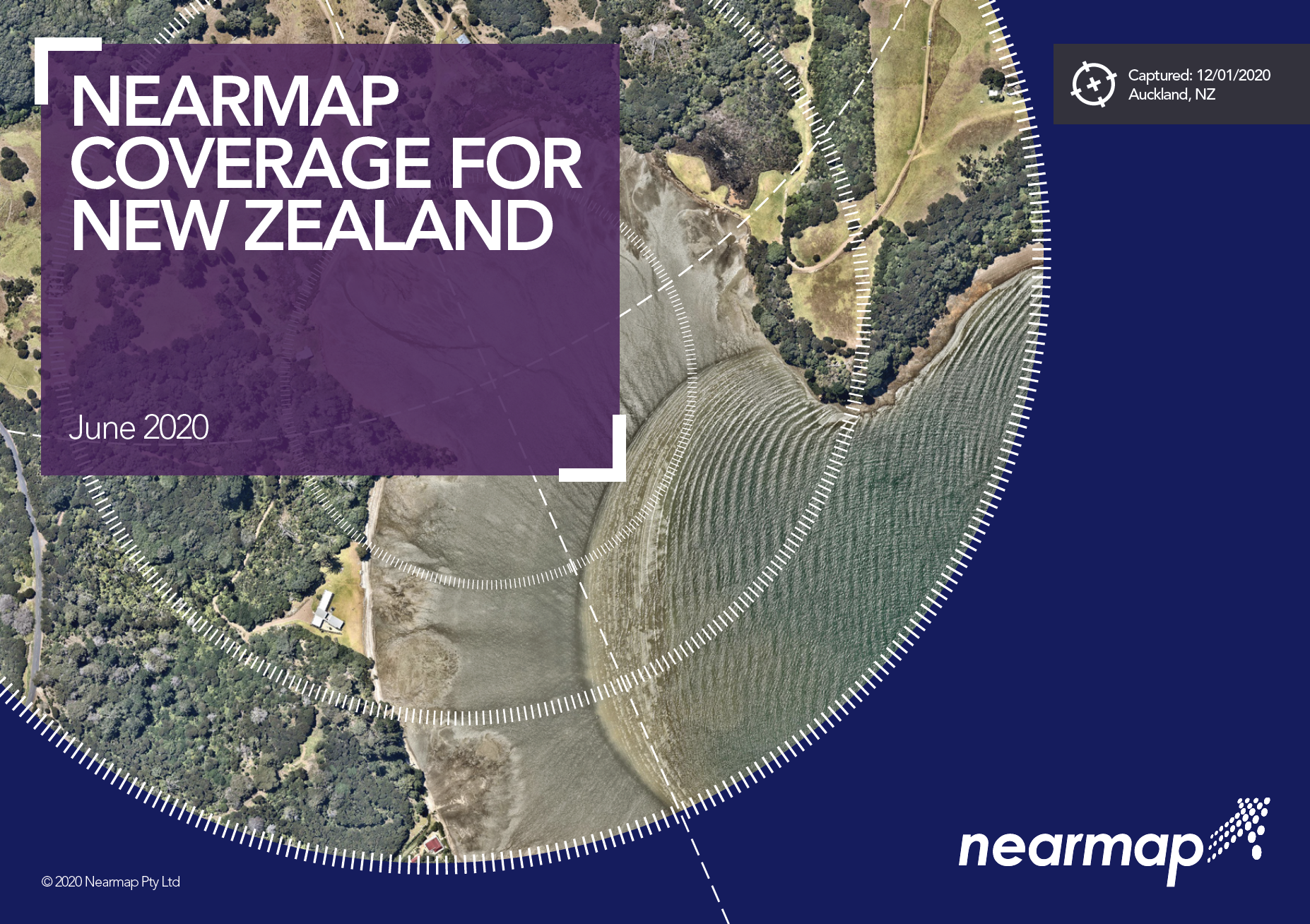
Nearmap regularly captures and publishes imagery covering 73% of the New Zealand — 14 urban areas encompassing more than 18,890square kilometres annually, and growing. The coverage map shows both existing and planned coverage for 2020

How often does Nearmap fly?
Nearmap adds new content for major New Zealand metros frequently, subject to weather and other conditions. The resolution is 6.0cm GSD (or better). Take a look at the coverage map for more information.

Regional coverage
Nearmap typically updates selected populated regional areas at least once a year. Please see the scheduled coverage for more information.

Newsletter Subscription Form