Ngai Tahu Ka Huru Manu Cultural Mapping Project

Case Study
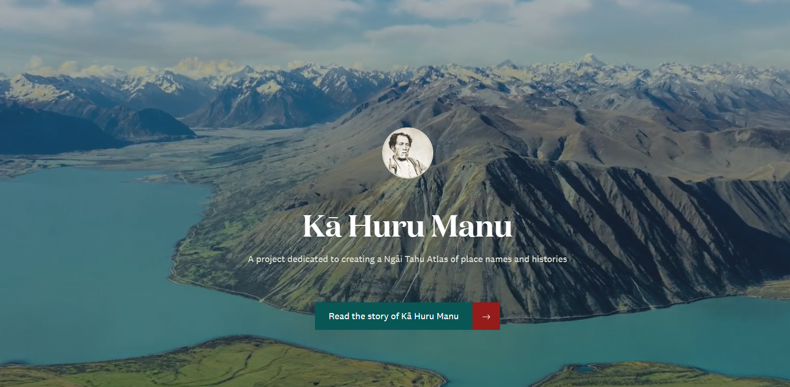
Kā Huru Manu, The Ngāi Tahu Cultural Mapping Project, is dedicated to mapping the traditional place names and associated stories within the Ngāi Tahu rohe (tribal area).
Need help choosing a solution?

Related Case Studies
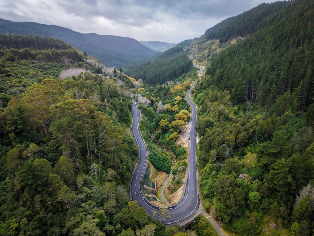
A mountainous, tree-filled landscape with a sharply curved road.
NZTA Modernises Highways with ArcGIS Enterprise on Kubernetes
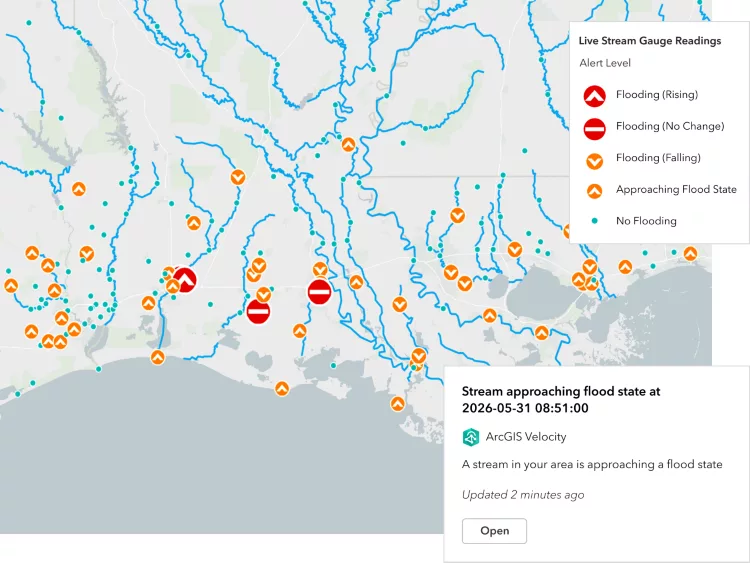
Map showing stream gauge readings with flood alerts, river networks and status markers across a region.
ArcGIS Velocity for IoT
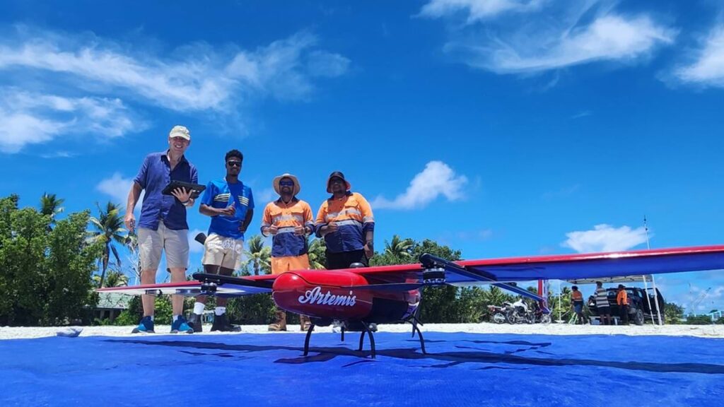
Fixed-wing drone positioned on a launch mat with people standing nearby.
Threatened by Sea Level Rise, Tuvalu Safeguards its Sense of Place with a Digital Twin

Stay up to date

Get the latest news, events, and insights from Eagle Technology delivered to your inbox.
keyboard_arrow_up