Sensor Coordination, Analysis and Action making sense of the Internet of Things (IoT). Connecting the Physical World Through Location Intelligence
The Internet of Things (IoT) generates vast streams of data from connected sensors, devices, and infrastructure, all of which exist at a specific location. GIS provides the spatial context needed to integrate, monitor, and analyse these data feeds in real time, helping organisations identify patterns, gain operational insights, and respond more effectively to changing conditions.
By combining IoT data with mapping and spatial analytics, GIS enables smarter decision-making across industries, from asset management and utilities to transportation and environmental monitoring. This integration transforms raw sensor data into actionable intelligence, allowing organisations to automate processes, optimise operations, and improve outcomes.

Real-Time Operational Awareness
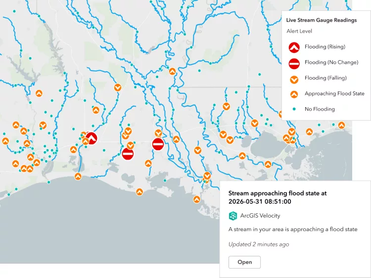
Connect and monitor live data streams from sensors, devices, and infrastructure in a single geographic view. GIS helps organisations see what is happening, where it is happening, and respond faster to emerging issues.
Smarter Data-Driven Decisions
Combine IoT data with other business and environmental information to uncover trends, patterns, and relationships. Spatial analytics transforms raw sensor readings into actionable insights that support better planning and decision-making.
Improved Efficiency and Automation
Use location intelligence to optimise workflows, prioritise maintenance, and automate responses to changing conditions. Integrating IoT and GIS reduces manual effort, improves resource allocation, and enables more proactive operations.
Location-Aware Data Feeds
GIS can ingest and visualise real-time data from a wide range of location-aware sensors monitoring the environment, assets, and human activities. GIS brings these diverse data streams together in a geographic context. By understanding not just what is happening, but where it is happening, organisations can gain deeper insights, detect patterns, and make faster, more informed decisions.
Environmental Sensors
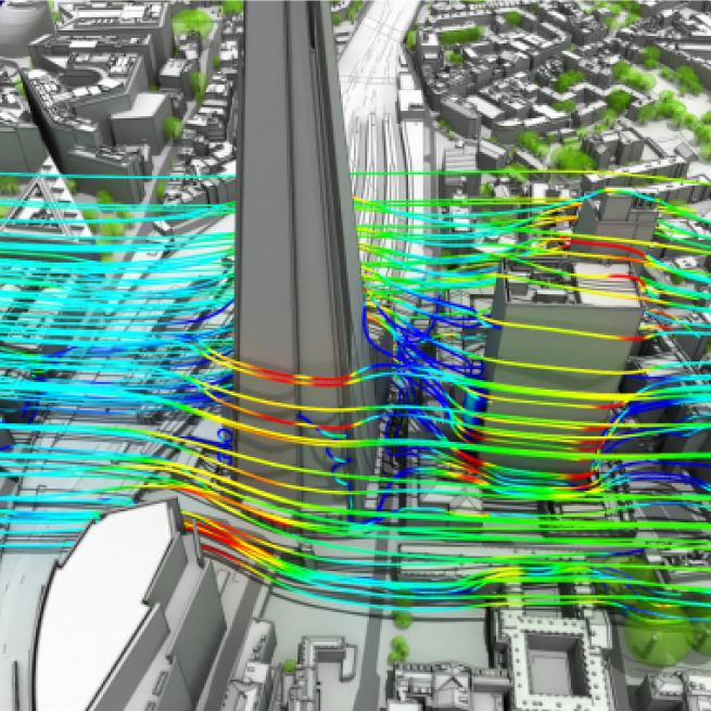
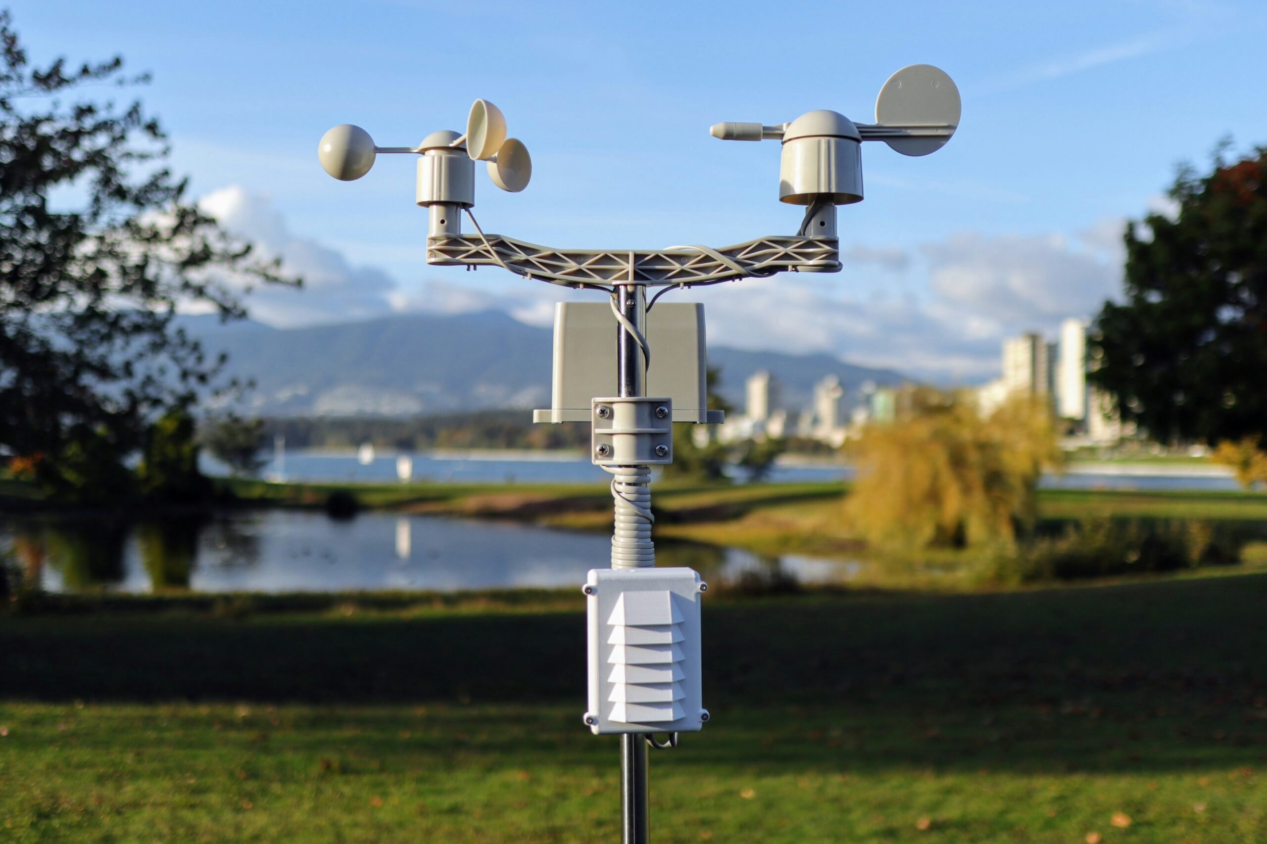
Environmental data feeds can include air quality, smoke and gas detectors, seismic and vibration sensors, water quality and level monitors, weather stations measuring wind, humidity and rainfall, as well as agricultural sensors such as smart pest traps that provide real-time insights into pest populations and crop health.
Monitoring Assets and Movements
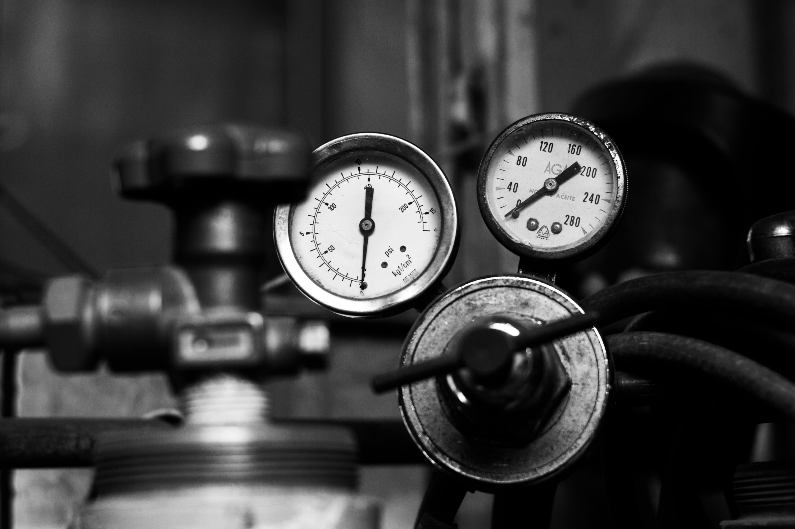
Asset monitoring sensors can provide real-time information on equipment performance and condition, including temperature, flow rates, pressure, voltage, current, radiation levels, noise, light, asset utilisation counters, GPS location, speed, and the movement of vehicles, cargo, and other critical infrastructure.
Understanding Human Activities
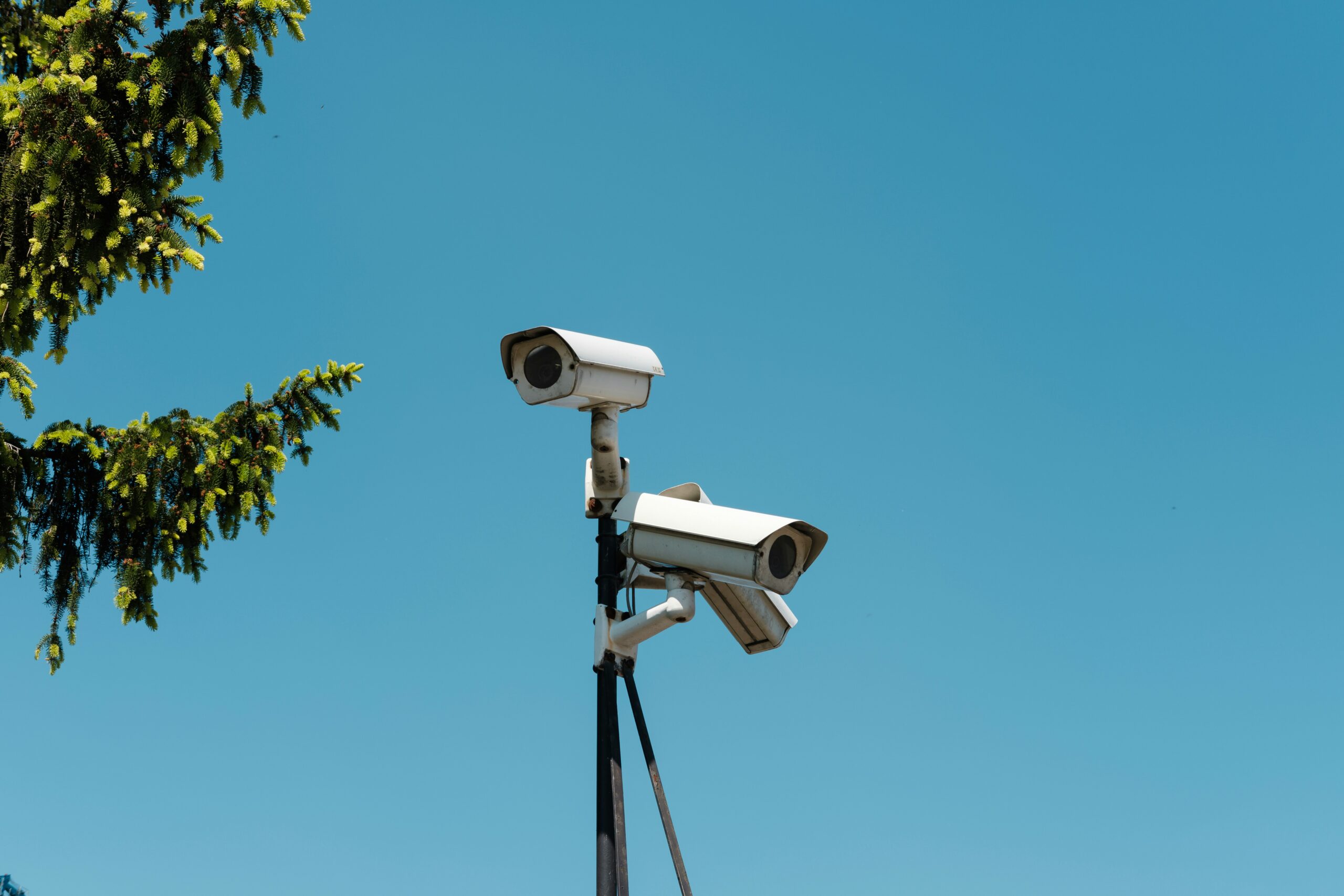
Human activity data can be captured through sources such as speech recognition, CCTV and movement analysis, social media interactions, and transaction records, helping organisations understand how people move, communicate, engage with services, and interact with places over time.