The benefits
Understand
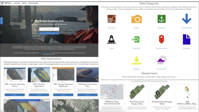
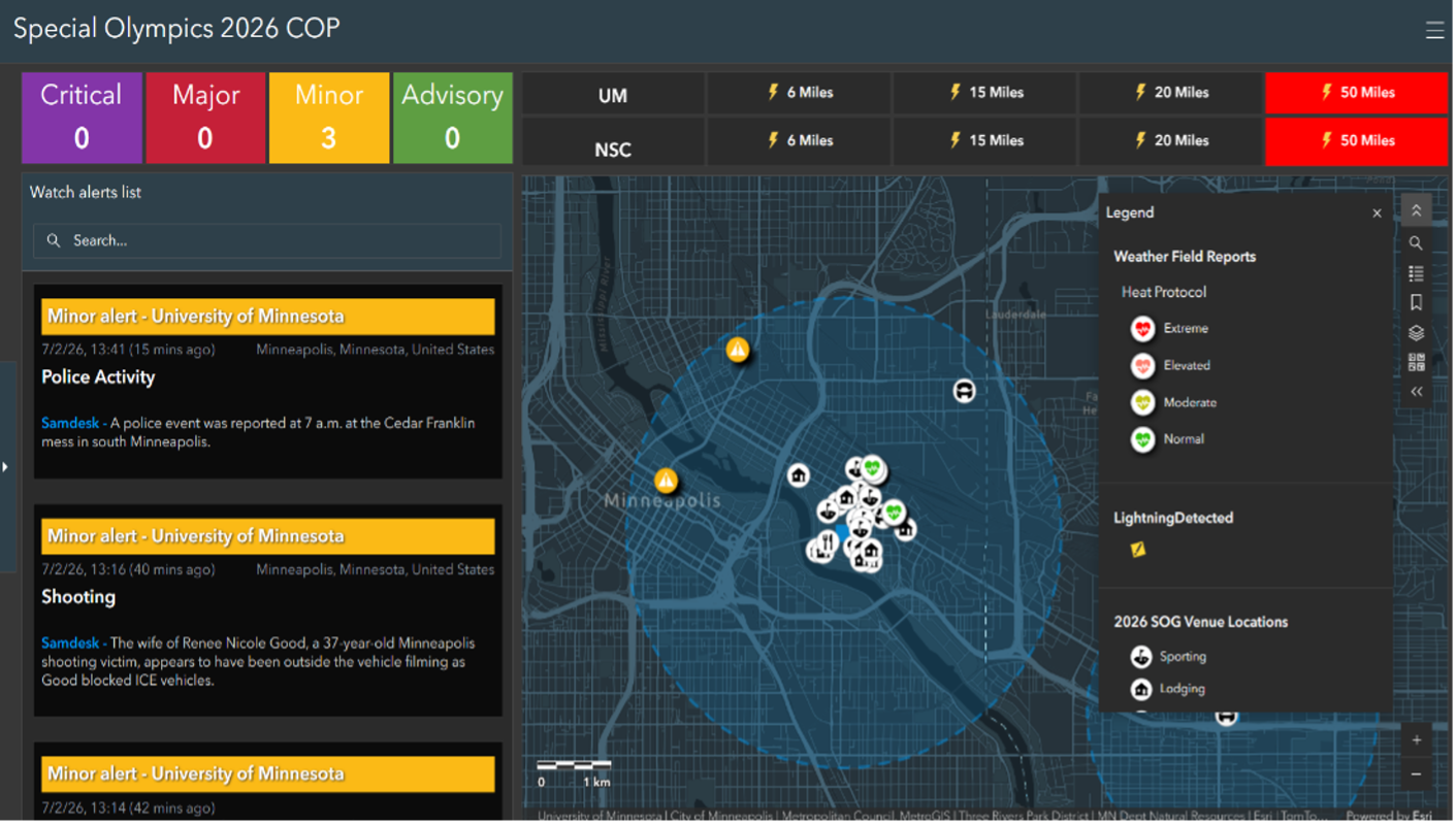
Integrate real-time sensor data with data from business systems and partner organizations, using maps for context and communication. Visualise and analyse data to uncover hidden vulnerabilities and patterns and prioritise efforts to reduce risk and increase community safety.
Plan
Access a global geospatial infrastructure to support secure data sharing and collaboration. Create, share, and modify plans, together with stakeholders and partner organisations, reducing redundancy and ensuring coverage. Engage the public on initiatives to increase resilience.
Act
Monitor ongoing situations and make adjustments in real-time using maps for better situational awareness. Fusing external feeds with live asset tracking and up-to-the-minute location data, public safety organisations can use a geographic approach to inform mission-critical decisions.
Public safety industries
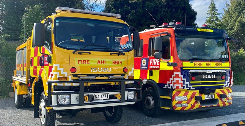
Emergency Services
Emergency Management
Humanitarian Assistance & Disaster Relief
Security Operations
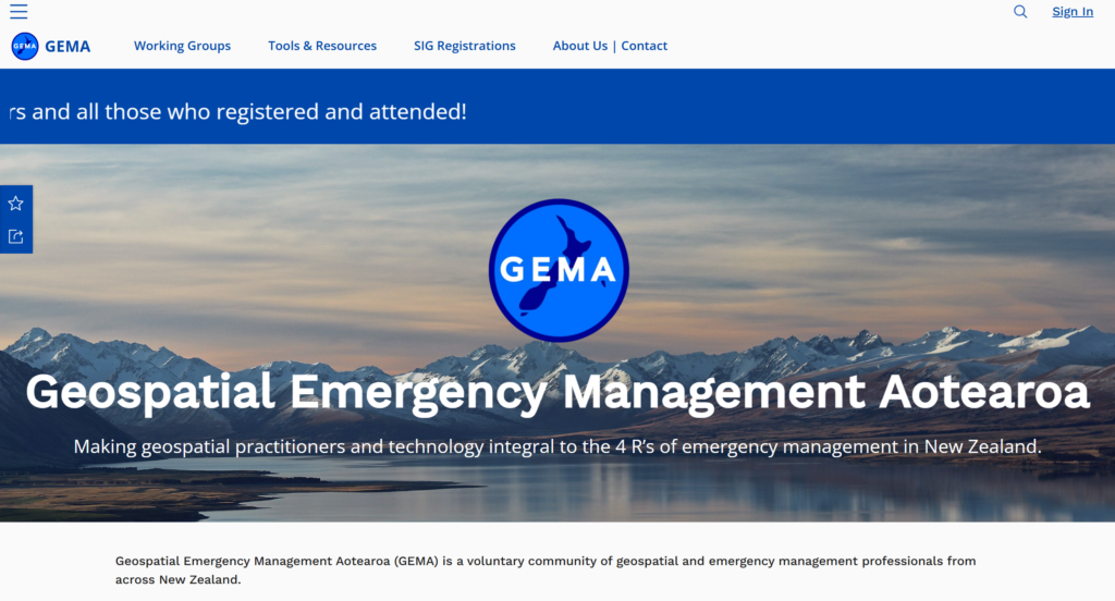
Geospatial Emergency Management Aotearoa (GEMA) is a voluntary community of geospatial and emergency management professionals from across New Zealand.
In 2021 Eagle Technology was awarded the Award for Innovation, with special recognition given to Eagle Technology’s Ed Cook for his geospatial work.
Real results in your sector
See how our products and services have transformed other businesses in your industry.