For more than a decade, the Predator Free New Zealand Trust (PFNZ) has helped connect thousands of New Zealanders working to protect native species from introduced predators. With mapping central to that mission from the beginning, Eagle Technology has brought together geospatial technology, expertise and innovation to support PFNZ in making conservation action visible, connecting communities and building a national picture of predator control across Aotearoa New Zealand.
Background:
The Predator Free New Zealand Trust (PFNZ) was established in 2013 with a clear purpose: to help connect and grow the movement working to protect Aotearoa New Zealand’s native species from introduced predators.
Long before Predator Free 2050 became a national government initiative, communities, councils, conservation organisations and individuals were carrying out predator control across the country. The gap was a shared national picture; a way to bring that activity together and make the collective scale of predator-control efforts visible.
For PFNZ, that meant creating more than a source of conservation information. It involved building a place where people could understand the scale of the movement, see what was happening around them, and find others working towards the same goal.
Today, that community is thriving. PFNZ estimates around 9,000 community groups are active across New Zealand, while approximately 2,700 groups are represented through its national mapping work. Its website attracts around 10,000 visitors each week, supported by an active programme of stories, newsletters, events, and community engagement.
That visibility matters. Sustaining predator control depends on people remaining engaged over the long term, and seeing the wider movement helps reinforce how individual actions contribute to a shared national ambition. Through GIS, vast local efforts can be understood as part of something much bigger.
The challenge:
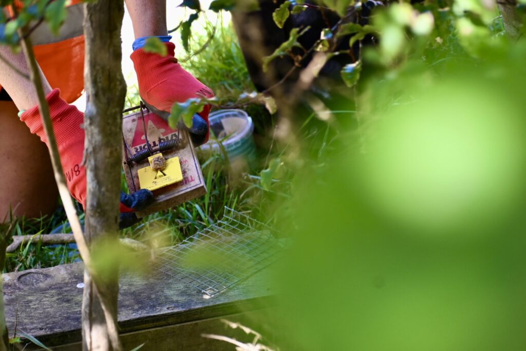
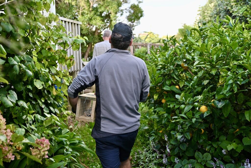
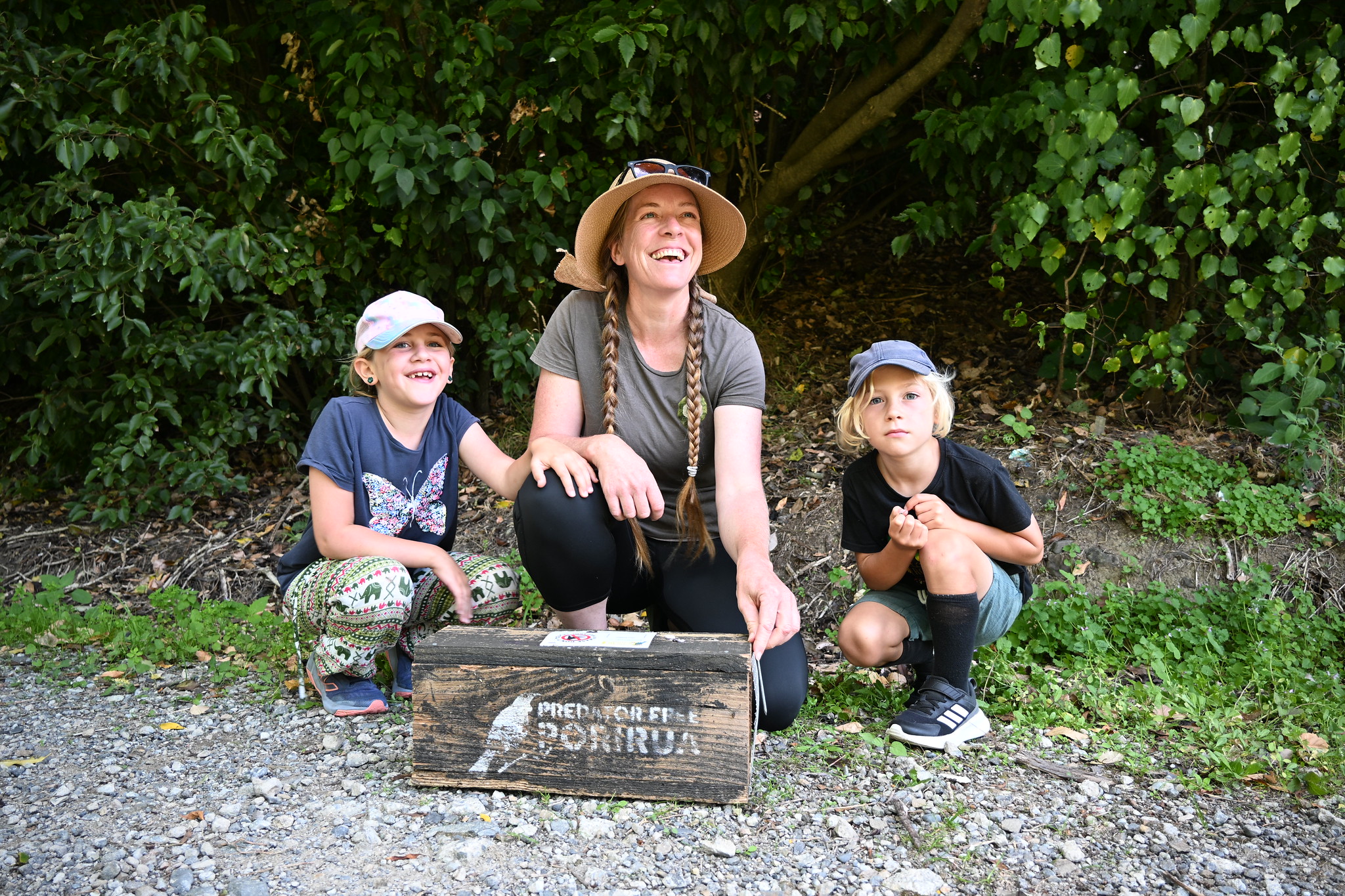
Predator control happens at every scale. Government agencies and councils manage large programmes with established data and systems, while thousands of community groups and volunteers set traps, maintain trap lines, and protect native species in reserves, neighbourhoods, and backyards throughout New Zealand.
Historically, there was not a comprehensive national picture bringing all that activity together.
For PFNZ, the challenge was about connecting a highly distributed movement, understanding where predator control was happening, identifying community activity that had not been captured, and giving people who wanted to contribute a practical way to find others doing the work nearby.
As PFNZ General Manager David Lewis explained during Eagle Technology’s GIS for Good webinar, the need was also deeply human. The Trust wanted people to know they were not ‘stranded and alone’ in their conservation work.
Making local activity visible helps transform individual effort into collective action. It enables volunteers to find one another, share knowledge and resources, and recognise their contribution as part of a much larger movement. As predator-control efforts have grown across New Zealand, strengthening those connections has become increasingly important to sustaining long-term participation.