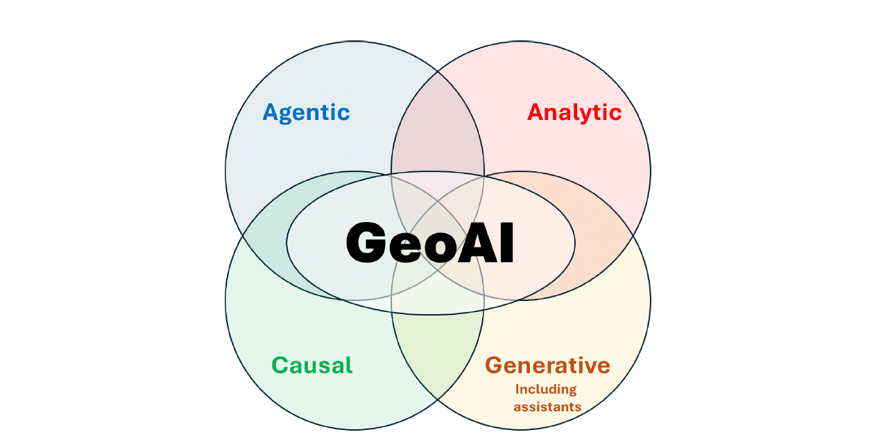
Trusted Geospatial Intelligence for Better AI-enabled Decisions
Unlocking Artificial Intelligence for Geospatial Professionals
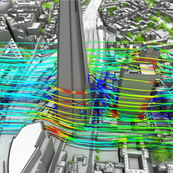
How Auckland Council Uses Digital Twins for Infrastructure Planning
Digital twin technology is transforming how New Zealand’s councils plan,
manage, and maintain critical infrastructure using real-time 3D replicas.
NZ Esri RUCs
GBS achieves Network Management Specialty
Auckland, NZ (5 February 2026) —
Enabling Rapid ArcGIS User Onboarding
Onboarding new ArcGIS users can be a time-consuming process.
Haukapuanui Vercoe – 2025 New Zealand Esri Young Scholar
I am incredibly honoured to have received the 2025 New Zealand Esri Young Scholar Award and to represent Aotearoa at the Esri User Conference in San Diego. I would like to extend my sincerest thanks to Eagle Technology and Esri for this prestigious recognition and the ongoing support of emerging researchers who are using GIS to address critical, real-world challenges. My project—Adaptations of Marae for Natural Hazards Resilience—sits at the confluence of civil engineering, geospatial science and Indigenous knowledge.
ArcGIS CityEngine Street Designer
For years, urban designers and procedural modelers have faced challenges with the ArcGIS CityEngine Complete Streets rule—its complexity required meticulous parameter tuning, slowing down workflows
Deprecation of the Classic New Zealand Basemap Server – Effective 5 May 2025
As part of Eagle Technology’s ongoing work to provide up-to-date, high-performance basemaps compatible with current ArcGIS technology, we want to inform you about an important update to our basemap services. Please review the details below to ensure a smooth transition and optimal use of these basemaps in your work.