Mapping the movement for a predator-free New Zealand

Case Study

For more than a decade, the Predator Free New Zealand Trust (PFNZ) has helped connect thousands of New Zealanders working to protect native species from introduced predators. With mapping central to that mission from the beginning, Eagle Technology has brought together geospatial technology, expertise and innovation to support PFNZ in making conservation action visible, connecting communities and building a national picture of predator control across Aotearoa New Zealand. 

Background:

The Predator Free New Zealand Trust (PFNZ) was established in 2013 with a clear purpose: to help connect and grow the movement working to protect Aotearoa New Zealand’s native species from introduced predators. 

Long before Predator Free 2050 became a national government initiative, communities, councils, conservation organisations and individuals were carrying out predator control across the country. The gap was a shared national picture; a way to bring that activity together and make the collective scale of predator-control efforts visible. 

For PFNZ, that meant creating more than a source of conservation information. It involved building a place where people could understand the scale of the movement, see what was happening around them, and find others working towards the same goal. 

Today, that community is thriving. PFNZ estimates around 9,000 community groups are active across New Zealand, while approximately 2,700 groups are represented through its national mapping work. Its website attracts around 10,000 visitors each week, supported by an active programme of stories, newsletters, events, and community engagement. 

That visibility matters. Sustaining predator control depends on people remaining engaged over the long term, and seeing the wider movement helps reinforce how individual actions contribute to a shared national ambition. Through GIS, vast local efforts can be understood as part of something much bigger. 

The challenge:

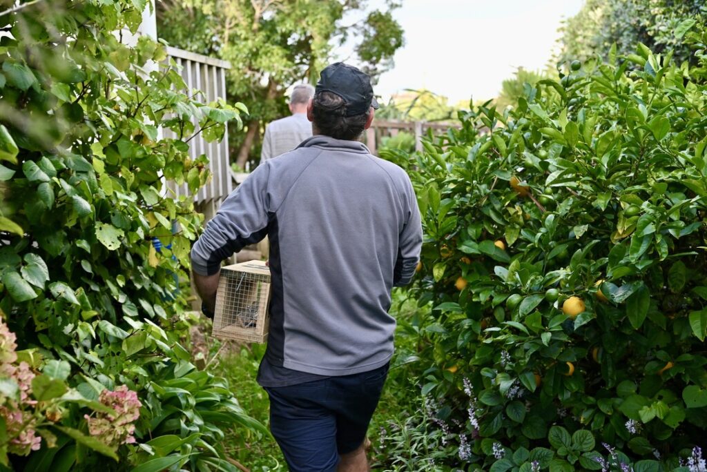
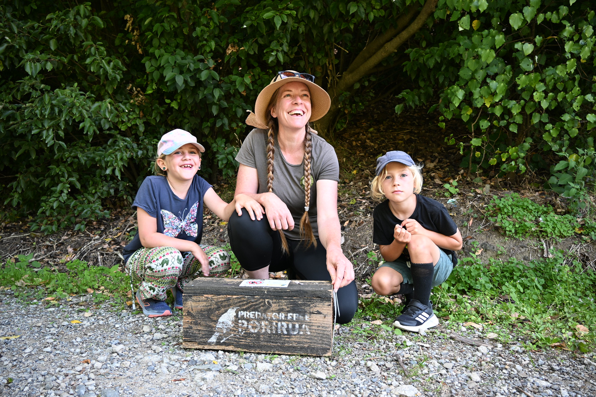
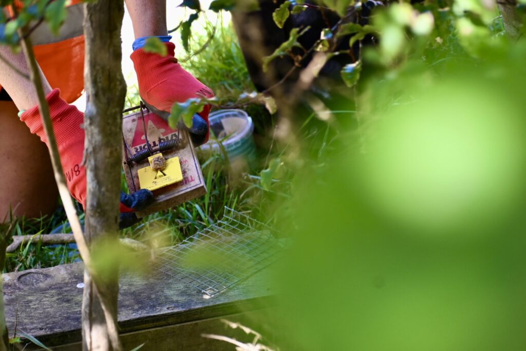
Predator control happens at every scale. Government agencies and councils manage large programmes with established data and systems, while thousands of community groups and volunteers set traps, maintain trap lines, and protect native species in reserves, neighbourhoods, and backyards throughout New Zealand. 

Historically, there was not a comprehensive national picture bringing all that activity together. 

For PFNZ, the challenge was about connecting a highly distributed movement, understanding where predator control was happening, identifying community activity that had not been captured, and giving people who wanted to contribute a practical way to find others doing the work nearby. 

As PFNZ General Manager David Lewis explained during Eagle Technology’s GIS for Good webinar, the need was also deeply human. The Trust wanted people to know they were not ‘stranded and alone’ in their conservation work. 

Making local activity visible helps transform individual effort into collective action. It enables volunteers to find one another, share knowledge and resources, and recognise their contribution as part of a much larger movement. As predator-control efforts have grown across New Zealand, strengthening those connections has become increasingly important to sustaining long-term participation. 
The solution:

Eagle Technology’s relationship with PFNZ reaches back to the Trust’s early years and a shared belief that geospatial technology could help turn thousands of individual conservation efforts into a connected national picture. 

Driven by a shared belief in PFNZ’s mission, Eagle donated geospatial technology, expertise and resources to the partnership, providing ArcGIS licensing and infrastructure while helping develop, test and prototype innovative approaches. This created opportunities to apply emerging GIS capabilities to real conservation challenges, bringing disparate activities together geographically, making it easier for communities to contribute information, and helping people understand what was happening around them and connect with the wider movement. 

As GIS capabilities have advanced, PFNZ has continued to build on that original vision, finding new ways to connect conservation activity, data, and communities. 

Central to PFNZ’s current mapping capability is its National Map, which brings together predator-control information from community groups, councils, the Department of Conservation, ecosanctuaries, and other organisations. Instead of viewing those efforts as isolated projects, PFNZ can present them geographically as part of a much larger nationwide picture, helping demonstrate both the scale of existing activity and where more information could strengthen that picture. 

PFNZ’s Find a Group function brings the national picture down to a community level, helping people discover predator-control activity happening around them. People can search by location, identify groups operating nearby, and find opportunities to get involved. For someone starting with a trap in their own backyard, that creates a direct connection to the people, knowledge and activity already present in their community. 

The Trust also uses ArcGIS Survey123 to enable groups to submit information for inclusion on the map, creating a practical way for community activity to become part of the wider national view. 

Together, these capabilities demonstrate a role for GIS that extends well beyond displaying information. Location provides the common thread connecting conservation activity, organisations, volunteers, and communities, transforming dispersed local efforts into a movement that can be seen, understood, and strengthened. 

For Lewis, making predator-control activity visible goes beyond helping people find a nearby group. It reinforces that individual efforts connect to a wider community working toward a common goal. 

“It’s building a sense you’re not alone in this work.” 

David Lewis, General Manager, Predator Free New Zealand Trust

Benefits:

A national picture of local action
PFNZ can bring conservation activity from across New Zealand into a shared geographic view, making the collective scale and reach of predator-control efforts easier to understand and communicate. 

Stronger community connections
People can find groups operating near them, creating opportunities to volunteer, exchange knowledge, share resources, and join the wider predator-free movement. 

Greater visibility for community-led conservation
Thousands of local efforts can be represented alongside activity from councils, government agencies, and larger conservation organisations, giving community action a visible place within the national picture. 

A pathway from awareness to participation
Location helps turn interest into action by allowing people to move from learning about predator control to discovering what is happening in their own community and how they can contribute. 

A foundation for continued innovation
PFNZ’s geospatial capability can continue to develop as new data, technology and approaches become available, creating opportunities to make the national picture more comprehensive and strengthen how people interact with it. 

Innovating for the next chapter:

The predator-free movement has grown significantly since Eagle and PFNZ first began working together, while advances in geospatial technology have created new possibilities for supporting that mission. Through that change, the partnership has remained driven by a shared commitment, applying geospatial expertise and innovation in ways that can make a meaningful difference to PFNZ’s work. 

By understanding PFNZ’s ambitions and challenges, Eagle brings geospatial expertise to the bigger question of what’s possible, identifying new capabilities and opportunities that can help the Trust move its mission forward. Eagle’s role is to understand the technology, connect it to the need and help turn that opportunity into practical capability. 

The partnership brings together complementary strengths. PFNZ brings deep conservation knowledge, community, and sustained participation, while Eagle brings geospatial insight into what technology can make possible. By bringing those strengths together, the organisations can identify practical opportunities for innovation that strengthen how PFNZ connects people, information, and place. 

Looking ahead, Eagle and PFNZ are building this foundation to create new possibilities for conservation engagement.  

By bringing more predator-control activity and data into view, making information easier for communities to contribute and use, and applying new ArcGIS capabilities in meaningful ways, the partnership can continue strengthening the national picture while creating new ways for people to understand, connect with and participate in the movement. Together, Eagle and PFNZ are looking at how geospatial innovation can turn greater visibility into stronger connections, sustained action, and even greater impact for conservation across New Zealand. 

Lewis describes PFNZ as an agile organisation that wants to continue to “push the envelope” in how it uses technology to support its work. That vision aligns with Eagle’s approach to GIS for Good, combining a belief in the mission with the expertise to identify, test and apply technology that can move it forward. 

As that movement continues to grow, Eagle and PFNZ are looking ahead together, using location, innovation, and a shared commitment to conservation to help make every action more visible, every community better connected and New Zealand’s predator-free ambition increasingly tangible. 

Need help choosing a solution?

Related Case Studies
A mountainous, tree-filled landscape with a sharply curved road.
NZTA Modernises Highways with ArcGIS Enterprise on Kubernetes
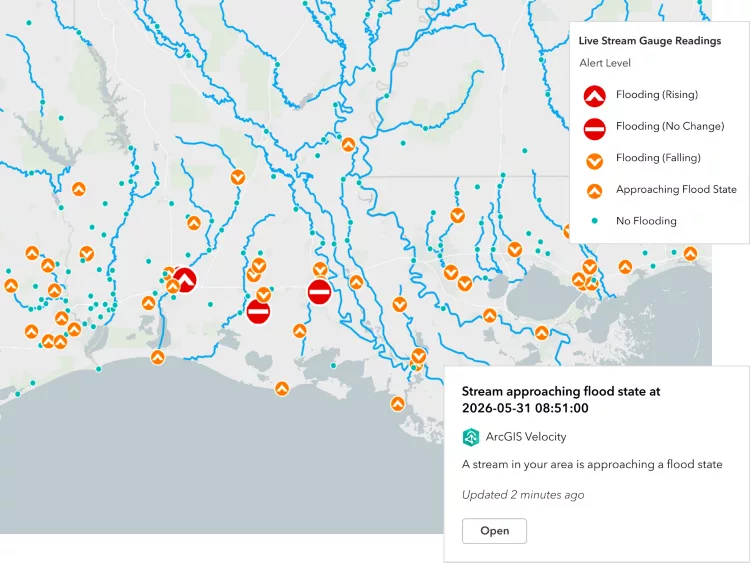
Map showing stream gauge readings with flood alerts, river networks and status markers across a region.
ArcGIS Velocity for IoT
Fixed-wing drone positioned on a launch mat with people standing nearby.
Threatened by Sea Level Rise, Tuvalu Safeguards its Sense of Place with a Digital Twin

Stay up to date

Get the latest news, events, and insights from Eagle Technology delivered to your inbox.
keyboard_arrow_up