Skip to main content
Products & Capabilities
GIS Products
Overview
ArcGIS Overview
ArcGIS Online
ArcGIS Pro
ArcGIS Enterprise
LocalMaps
ArcGIS for Developers
NZ GIS Content – Living Atlas
Esri NZ Store
Partner Products
Capabilities
Mapping & Visualisation
Data Management
Field Mobility
Imagery & Remote Sensing
Spatial Analytics
Enterprise Solutions
Innovation
AI
IoT
Digital Twins & 3D GIS
Industries
Industries Overview
Agriculture
Architecture, Engineering & Construction
Commercial
Education
Energy Utilities
Forestry
Indigenous/Māori
Local Government
National Government
Not for Profit
Public Safety
Telecommunications
Transport
Water Utilities
Service & Support
Technical Support
Contact Us
Technical Support
My Esri
SERVICES
Managed Services
GIS Consulting
GIS Advisory
IT Consulting
Training & Certification
Training Solutions
Learning Catalogue
Upcoming Courses
Frequently Asked Questions
Esri Certification
Community
Insights & Updates
Blog & News
Case Studies
Content Hub
ArcGIS Resources
Global GIS Community
Events & Conferences
NZEUC
Events Calendar
Webinars
GIS for Good
GIS in Conservation
GIS in Schools
GIS for Emergency Management
About
About Eagle Technology
About Us
Our History
Contact Us
Partners
Careers
Careers at Eagle
GIS Graduate Programme
GIS Summer Intern Programme
Talk to an Expert
Talk to an expert
Esri NZ Store
Home
Resources
Case studies
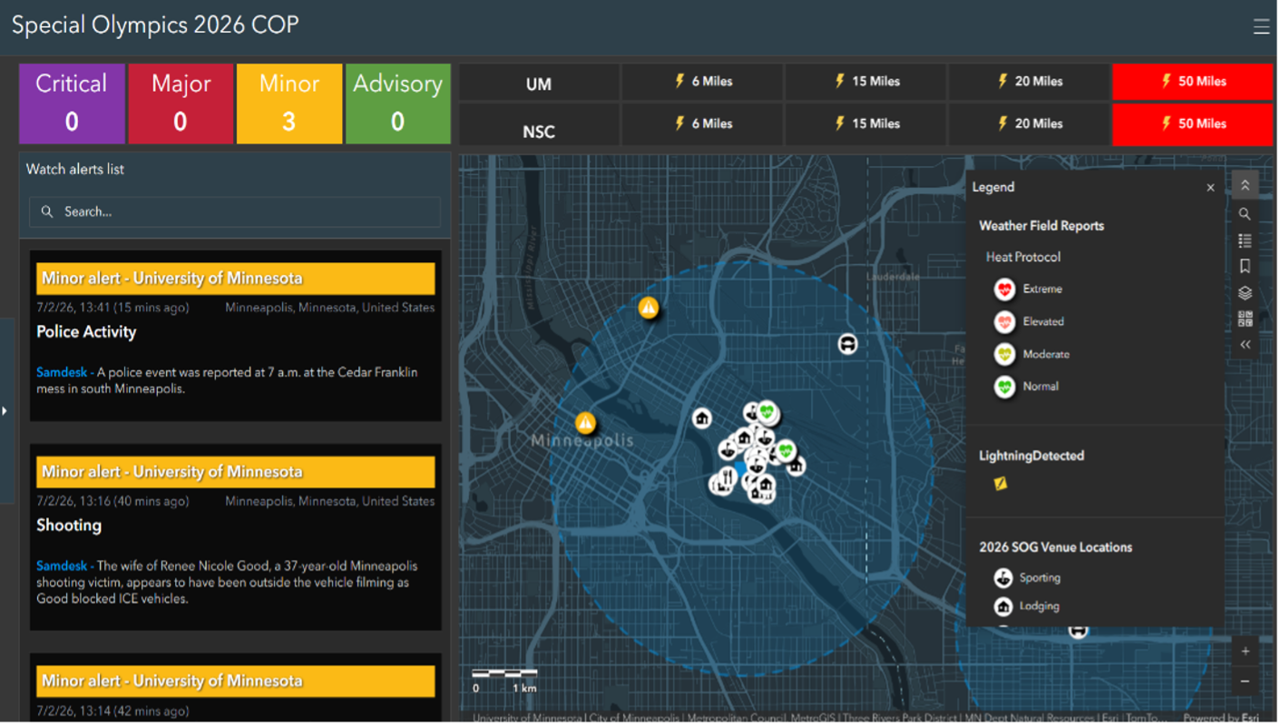
Special Olympics 2026
Case Study
Back to Blog
Need help choosing a solution?
Talk to an expert
Related Case Studies
NZTA Modernises Highways with ArcGIS Enterprise on Kubernetes
View
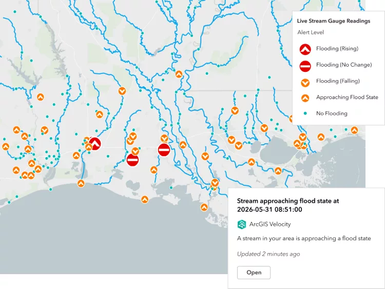
ArcGIS Velocity for IoT
View
Threatened by Sea Level Rise, Tuvalu Safeguards its Sense of Place with a Digital Twin
View
Stay up to date
Get the latest news, events, and insights from Eagle Technology delivered to your inbox.
Subscribe
keyboard_arrow_up
Menu