


Case Studies

Technology solutions built for your industry

Every industry has its own challenges, but all rely on clear, connected information to
make well-informed decisions. From local government to agriculture, Eagle
Technology helps organisations across New Zealand harness the power of GIS and
spatial solutions.

Filter
Reset
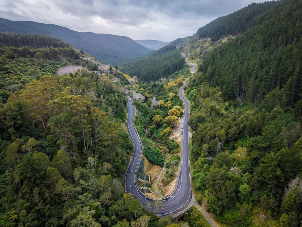
A mountainous, tree-filled landscape with a sharply curved road.
NZTA Modernises Highways with ArcGIS Enterprise on Kubernetes
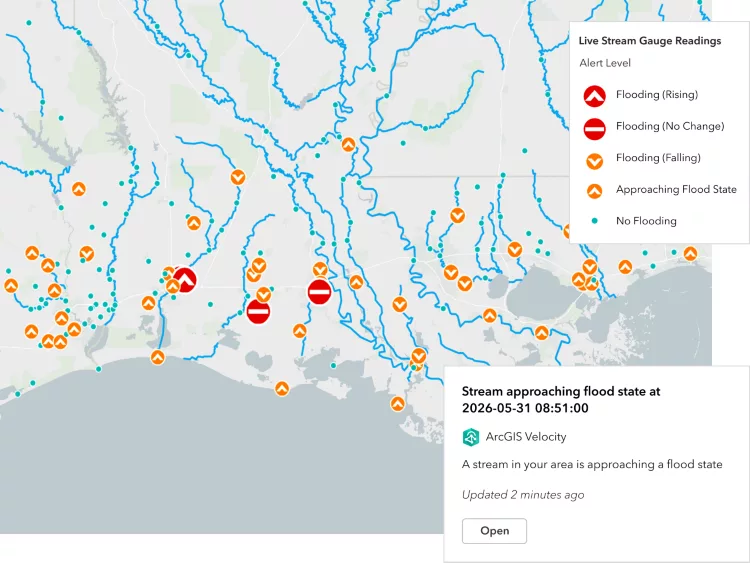
Map showing stream gauge readings with flood alerts, river networks and status markers across a region.
ArcGIS Velocity for IoT
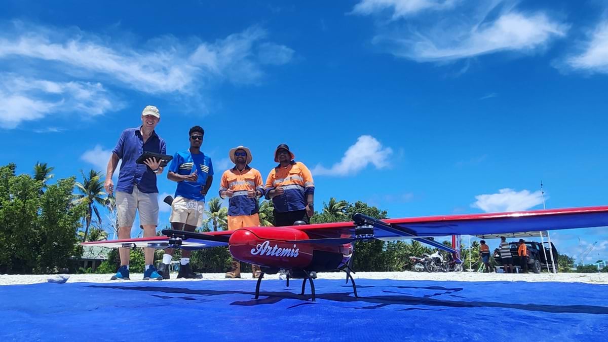
Fixed-wing drone positioned on a launch mat with people standing nearby.
Threatened by Sea Level Rise, Tuvalu Safeguards its Sense of Place with a Digital Twin
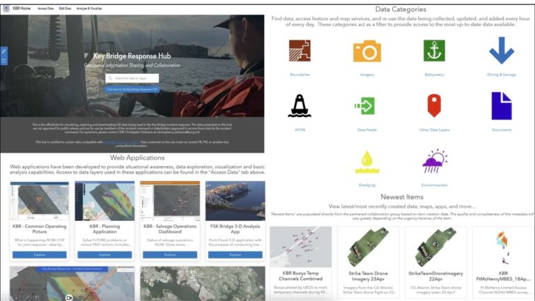
Screenshot of the Key Bridge Response Hub website.
Key Bridge: Cross-Agency Collaboration Quickly Reopens Baltimore Shipping Channel
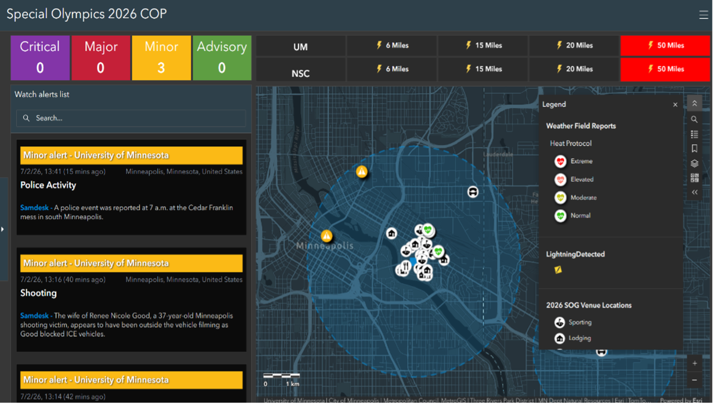
ArcGIS dashboard displaying emergency alerts, incident reports and a city map.
Special Olympics 2026
Kea perched on a rock.
Predator Free Communities
Cattle grazing in a paddock.
Pāmu and Esri help solve winter grazing challenges
When Southland farmers came under the media spotlight for wintering practices in 2019, Pāmu’s Geospatial Services Manager Bronwyn Rodgers recognised that part of the solution would lie with GIS. “While…
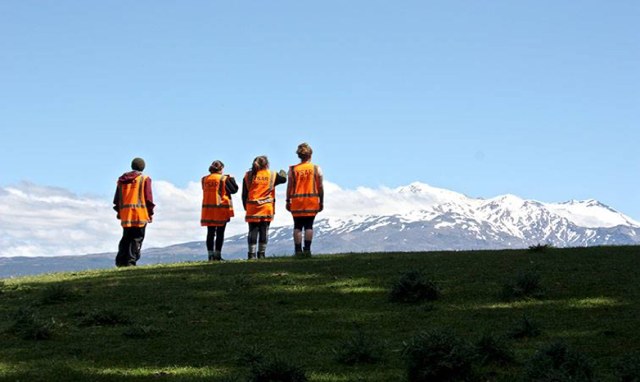
Four people in hi-vis vests overlooking snow-capped mountains.
YSAR takes lead in innovation
Youth Search and Rescue (YSAR) uses innovative technology in search and rescue and emergency management. “I can’t sufficiently overstate the value of the support Eagle Technology has given to us…
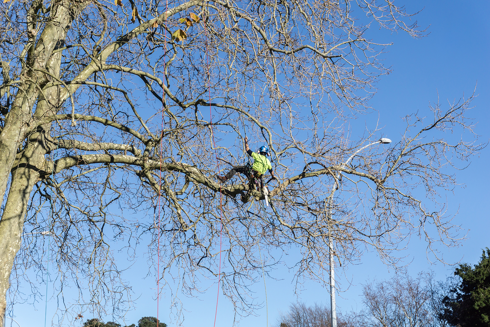
Arborist working in a tree using ropes and climbing equipment.
Managing hazardous vegetation during lockdown
When New Zealand entered Alert Level 4 lockdown at short notice in March this year, WEL Networks’ vegetation management team was well-positioned, having already gone digital in January 2020. The…
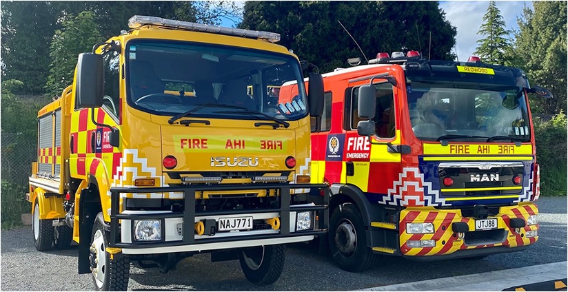
Two Fire and Emergency New Zealand trucks parked side by side.
Development of FENZ COP after Cyclone Gabrielle
ArcGIS Enhances Emergency Response at Fire and Emergency New Zealand Background challenges On 12 February 2023, New Zealand was battered by Cyclone Gabrielle, one of the southern hemisphere’s most significant…

NZ Transport Agency logo and motorway interchange.
NZTA – a Managed Service Solution
“We now have more time to spend on delivering great business outcomes for our customers. Following this project with Eagle, it is now much easier for us to make our…
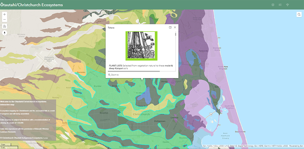
ArcGIS ecosystem map of Christchurch showing vegetation and land cover types.
Lucas Associates launches interactive native plant guide
Di Lucas Leona deRidder The development of the digitised Ōtautahi Christchurch indigenous plant guide and ecosystems app represents what has been a 26-year labour of love for Christchurch-based landscape architect…

Find the right GIS solution for your organisation

Our team can help you find the right technology for your organisations unique needs
keyboard_arrow_up