Dunedin - Teachers upskill in ArcGIS
Dunedin - Teachers upskill in ArcGIS
Claire Thurlow - GIS Training and Education Manager
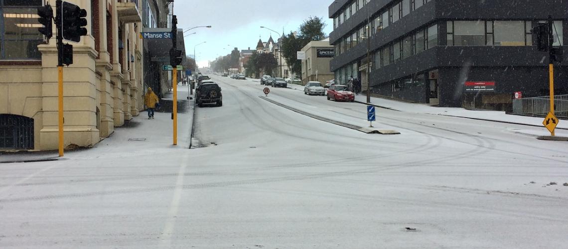
Through snow, hail and ice they came to learn more about GIS and how to utilise GIS in the classroom.
It was an absolute privilege to spend two days at Kaikorai Valley College helping teachers from throughout Dunedin expand their skills in the use of GIS in the classroom.
At the start of the first day the teacher's knowledge of GIS ranged from not knowing exactly what GIS was to teachers who had worked with primary school children and Collector for ArcGIS to capture data for mapping purposes on the Kaikorai Valley College urban farm.
By the end of the first day all the teachers knew the following:
- What GIS was
- How to create a Web Map in ArcGIS Online
- How to capture data in the field using Collector for ArcGIS
- The potential for using Survey123 for ArcGIS as a field capture app.
- How to create an Esri Story Map
We took Collector for ArcGIS out and about the school on the first day which posed some interesting challenges considering there was snow and ice on the ground! It also identified some real learnings about spatial data capture and data quality.
The second day focused specifically on helping the staff at Kaikorai Valley College create a lesson that they could use in Geography at NCEA level 2 and 3. This lesson was based on the geolocated elemental breakdown of soil data captured by Simon Cox from GNS Science in 2016 on the Kaikorai Valley College urban farm. In the lesson students will
- manipulate the data so it can be added into an ArcGIS Online Web Map (each student will have one or two different elements to display in a map)
- run a query / filter on the data so that their map shows only those points that are within safe boundaries for farming
- change the symbology of the map to better represent any patterns they see in the data
- describe the pattern that they see
- explain why an area might be good or not for planting a particular plant or housing a particular animal - solving a geographic problem
- try and represent the points as a surface by using the ArcGIS Online Analysis tools - challenge for more advanced students.
A big thanks to Simon McMillian for organising this event despite the weather challenges and to representatives from GNS Science and the University of Otago Surveying School who added their knowledge and skill to the first day.
Lessons learnt
- Having a class suite of smart devices to enable data capture in the field using Esri products is a fantastic idea.
- Getting your Science department involved with GIS brings a whole new dimension to GIS in your School - cross curriculum GIS activities are an extremely rich learning environment.
- If teachers are committed to expanding their knowledge to further the tools they have in their teacher toolbox they will come!
- Maybe winter in Dunedin is not a great time to schedule a teaching training event which has an outside component!
#NZGISinSchools
View all blog posts