Take your Web GIS further with LocalMaps

Eagle Technology’s LocalMaps gives you the power to create purposeful information products that are easily accessible to your entire organisation.
Highly regarded for its intuitive user interface, flexible configuration options and strong user community, LocalMaps offers a reliable and proven solution that meets the needs of New Zealand’s diverse industries and organisations.
The LocalMaps Solution includes:
- LocalMaps Gallery
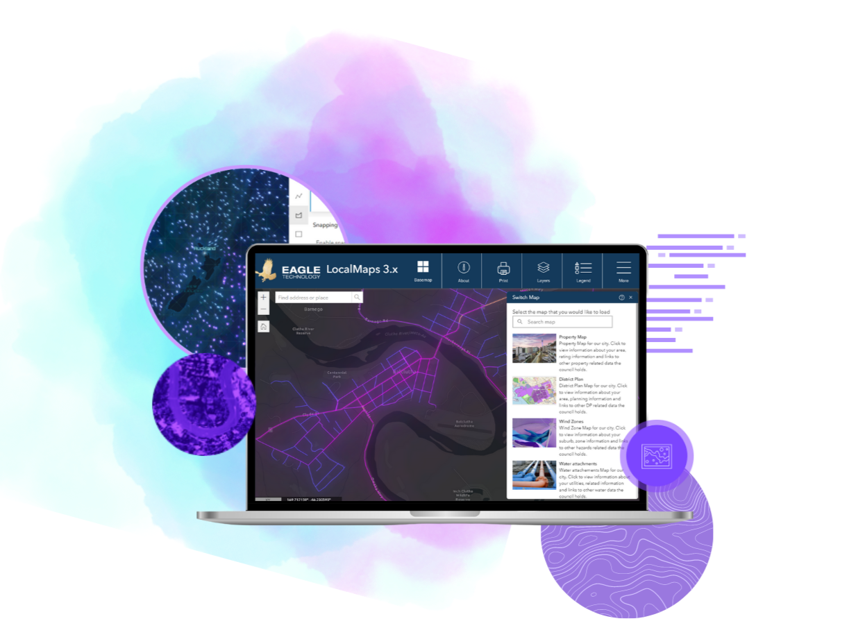
- LocalMaps Viewer (built on Esri’s ArcGIS Web AppBuilder)
- Web-based administration
- Esri Open Data configuration
- Full support from Eagle Technology
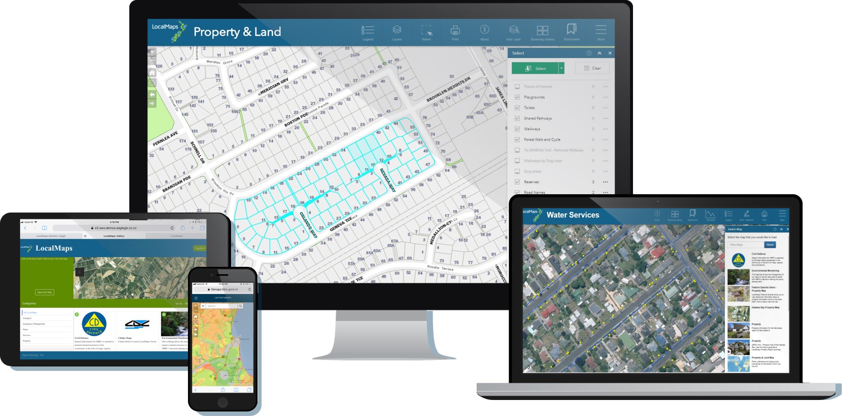
LocalMaps is a powerful web-based solution for viewing, querying, and reporting on your organisation's spatial data. Offering flexible deployment options and data-level integration to existing databases (SQL Server, MySQL, Oracle, and more), LocalMaps fits all your internal and/or public-facing Web GIS needs.
See the new LocalMaps v3.1 Technical Requirements and Functionality Matrix for more detail.
LocalMaps has made the publishing and managing of our GIS content really easy. The interface is also easy to use...one email (from a staff member) had a subject of 'WOW WOW WOW'; I think that says it all!
Local Maps Resource Centre
Introducing our Resource Centre where you can access more about key features, technical requirements, and both user and administration resources.
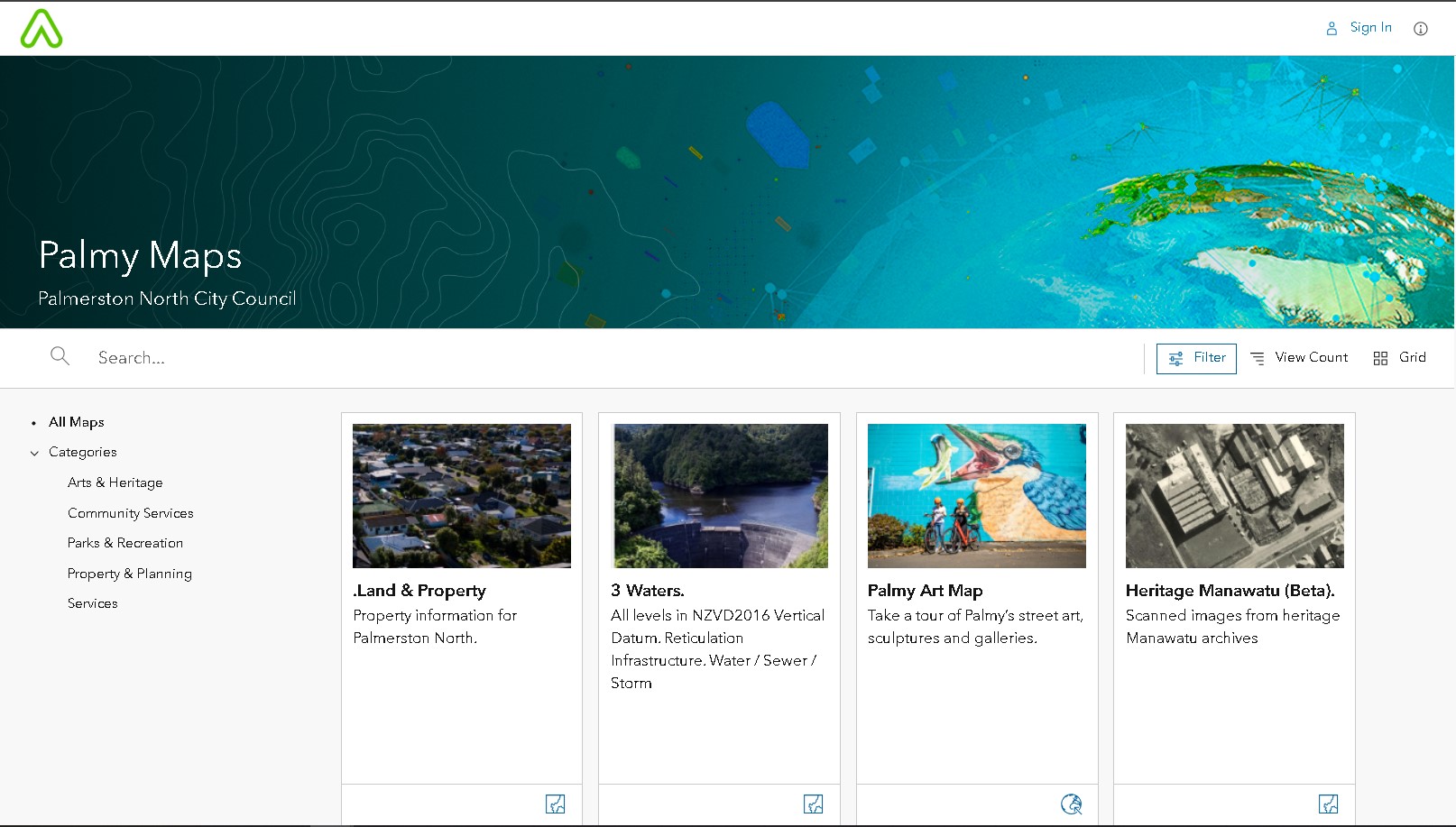
Engage the community
Take a look at how Palmerston North City Council is using its LocalMaps Gallery to share spatial information about its vibrant city.
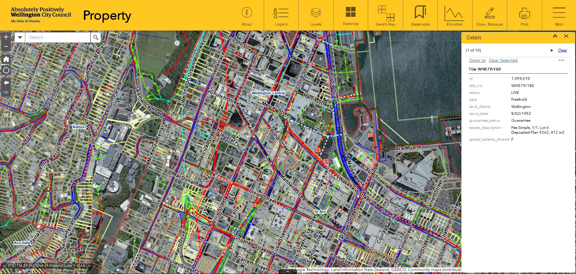
Explore Property information
See how the Wellington City Council Property Map enables ratepayers to easily explore up to date property information.
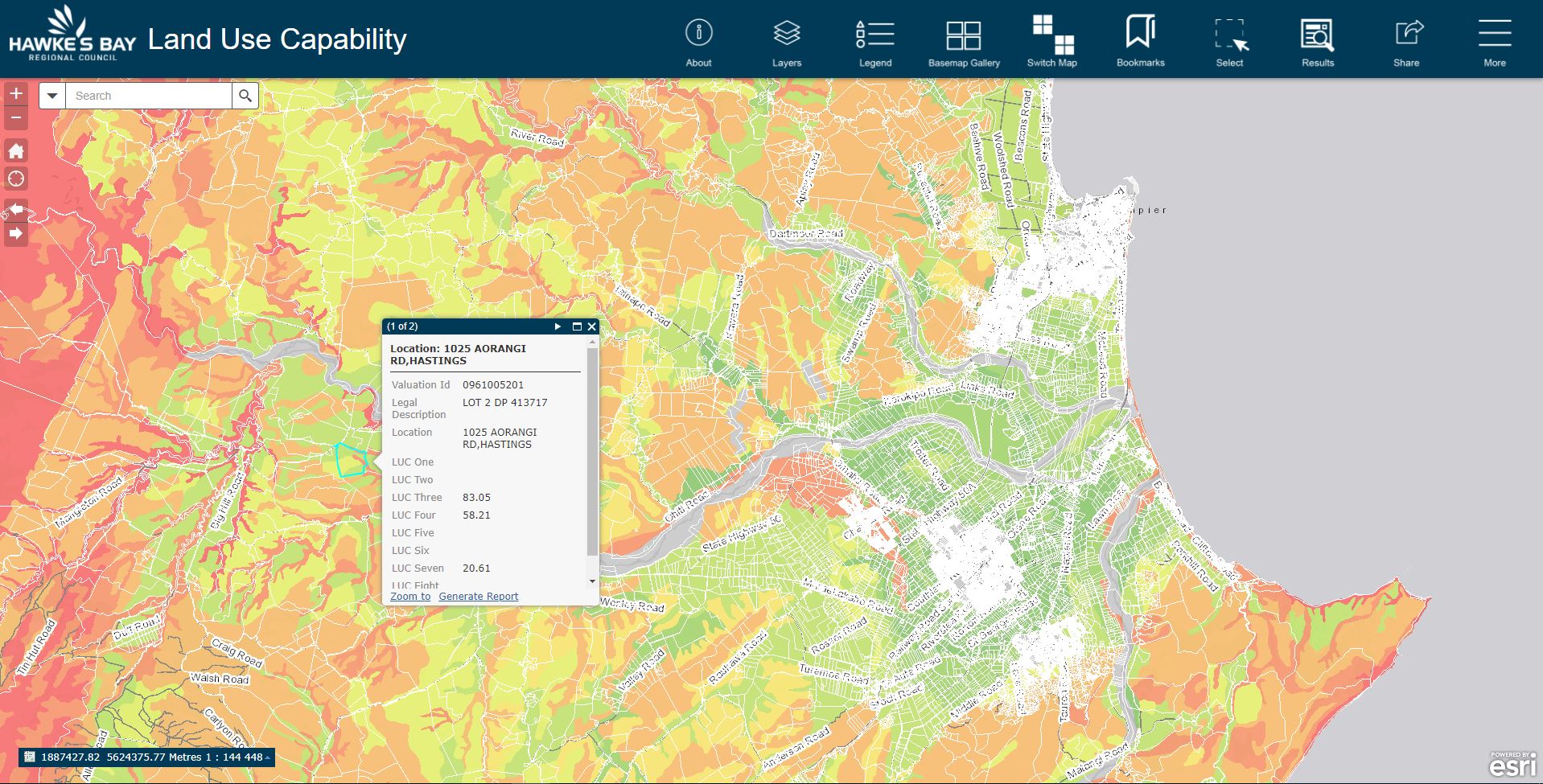
Visualize and manage land use
Hawkes Bay Regional Council are using LocalMaps to easily generate reports on Property land use in the region.
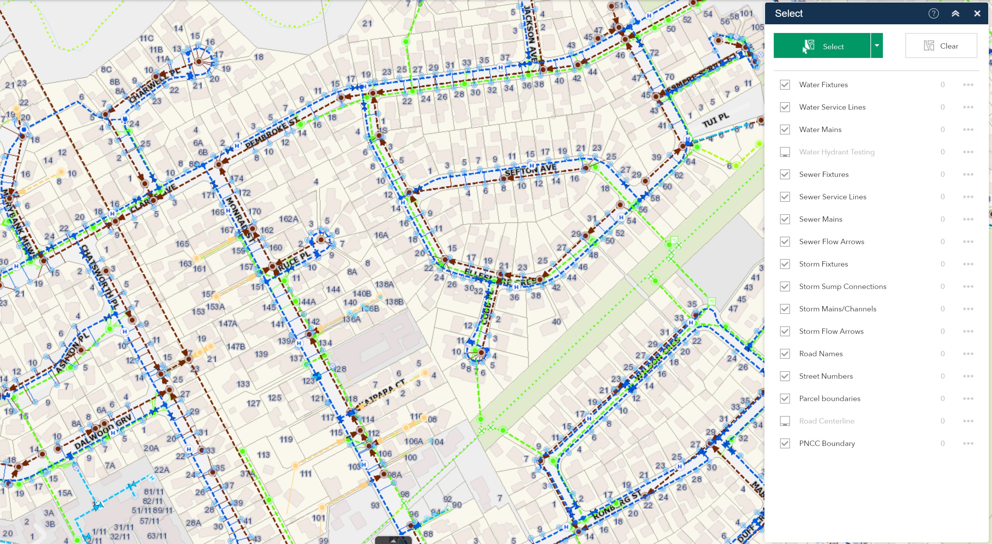
Maintain utility assets
Napier Ports LocalMaps provides a visual overview of operation to improve efficiency and increase location awareness.
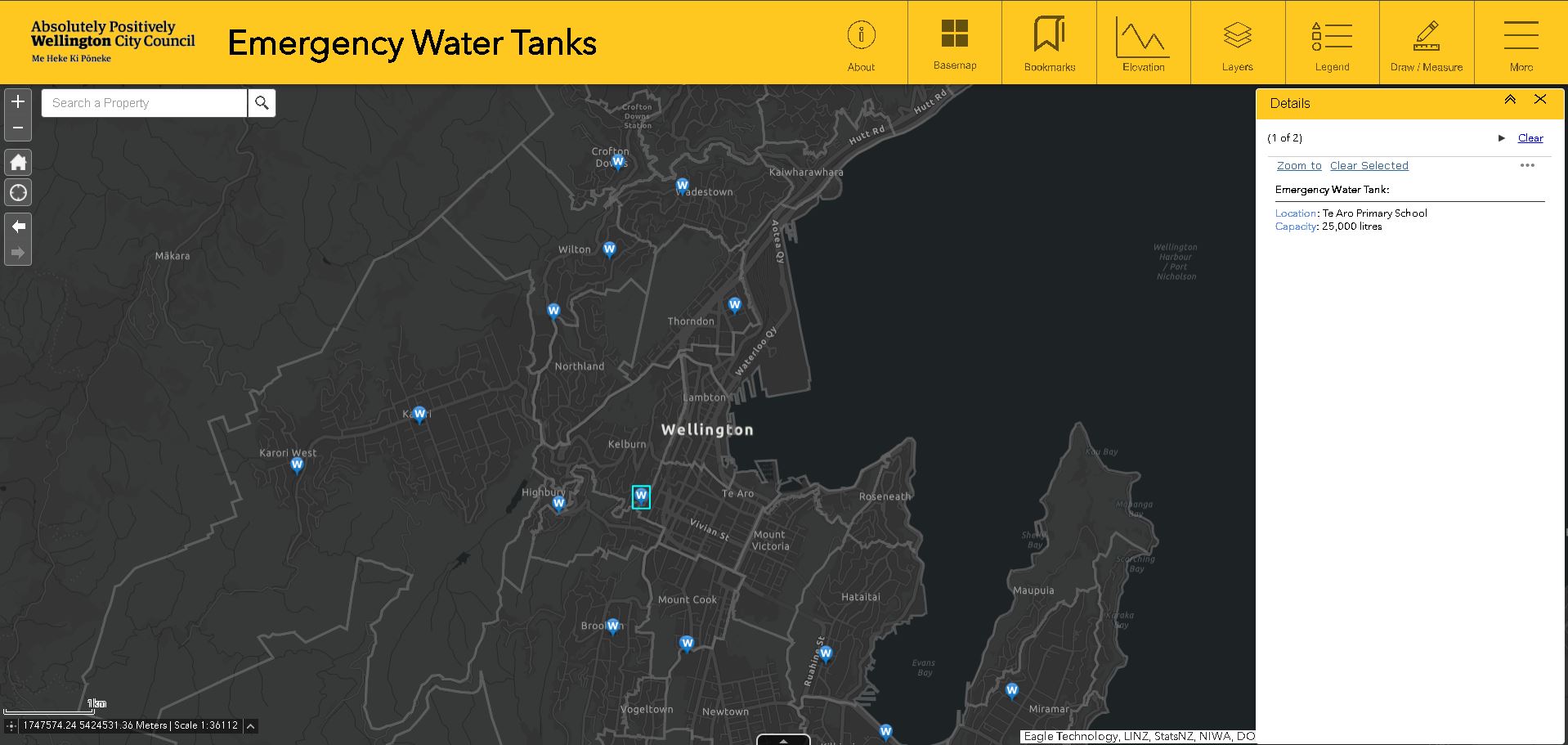
Resilience and preparedness
See how finding and accessing the city's Emergency, hazard and evacuation information is simple and intuitive for Wellingtonians.
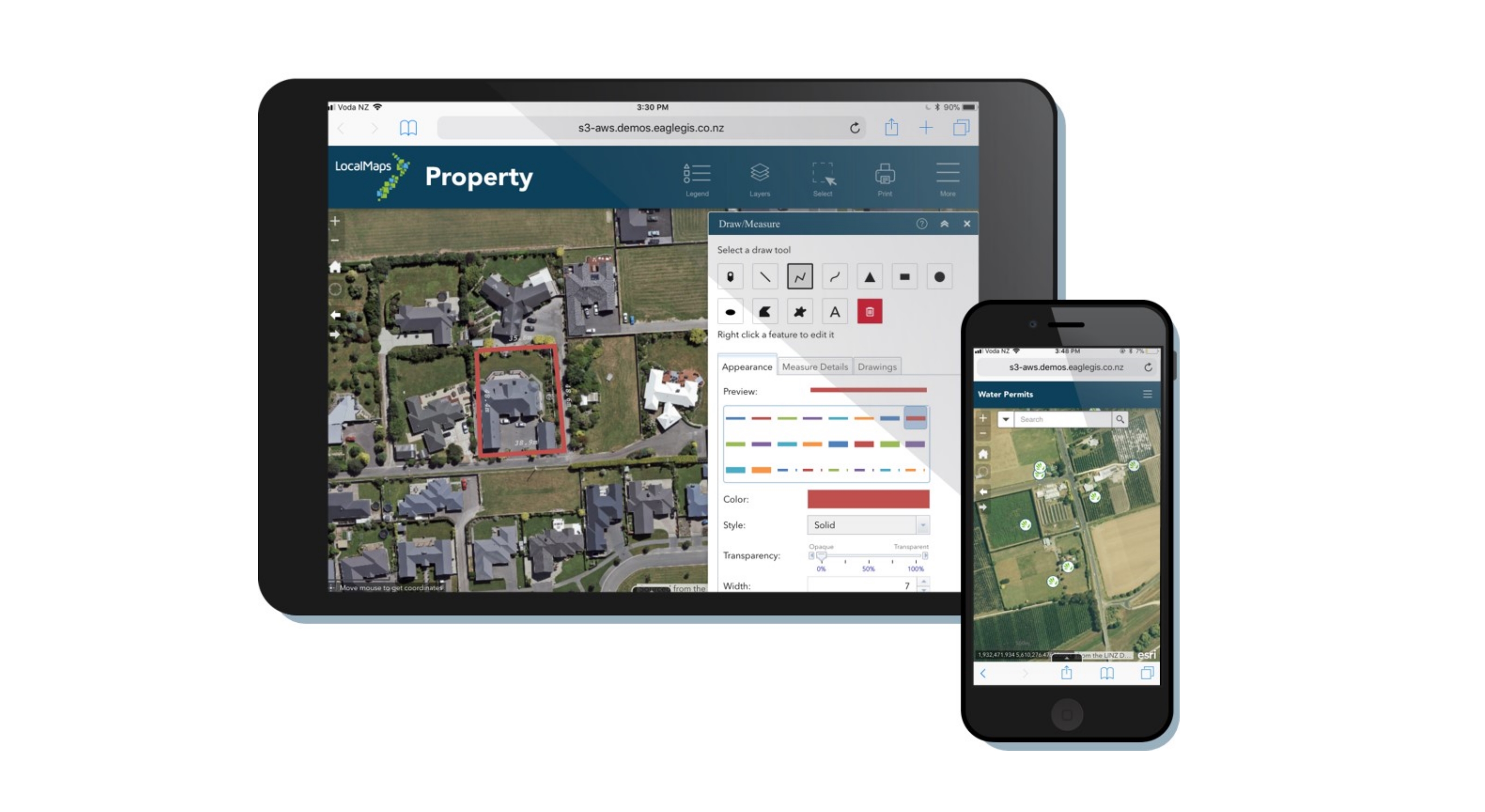
Access information anywhere
LocalMaps is enabling Property Contractors to quickly give on-site quotes by tracing measurements of a new building or house.