Looking through a new lens
Looking through a new lens
by BILL BENNETT
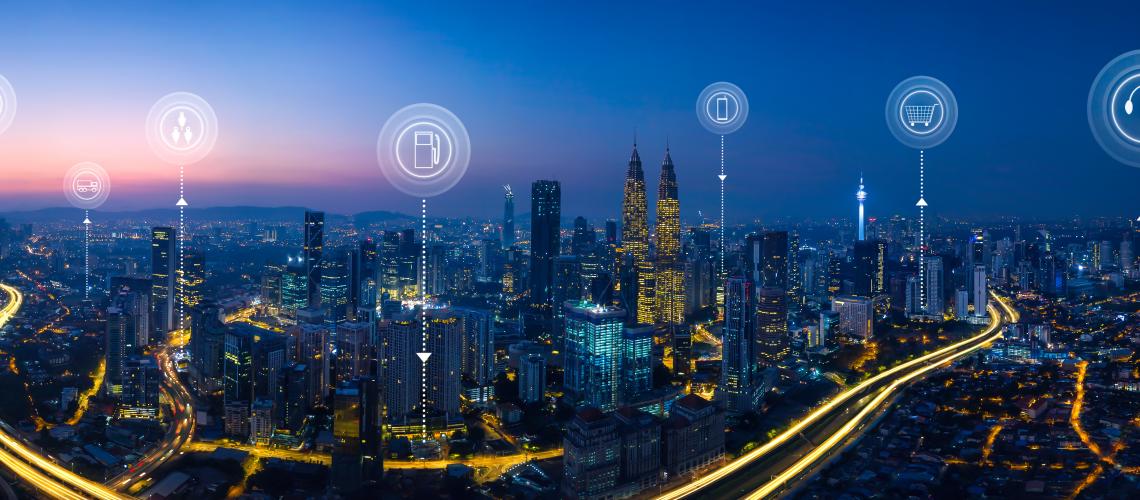
Eagle Technology's Greg Price has worked with organisations in the Auckland region to build systems that collect and organise this data in ways that make sense. The key is to tie location-based data to a series of digital maps using Esri technology.
"Organisations use a number of different IT systems to manage and analyse data. "Most people are familiar with the idea of financial information systems. That is one lens to look at operations and assets. It will give you one view. Another way to look at data and information is to use a location lens to manage operations and assets. You can also use it to plan and to optimise.
"Location is important because things are often the way they are because of where they are. They also have a relation to the things that are around them. This is what GIS brings to any organisation.
"Governments, particularly local government is very much about managing places or locations. With most councils, and this would include Auckland Council, 80 percent of what they do is based on location."
For councils and similar organisations GIS is the decision-making tool that pulls the various data strands together. They don't have to be the same data strands. One of the beauties of a GIS is that it can produce map layers on top of one another. You could overlay a map of say, the city's road network with air quality information or noise control data. This will identify places where traffic is doing more harm than holding people up as they travel. Planners can use this to improve people's quality of life.
"Decision support is one of the main patterns of use with GIS. There are others, among them are: mapping and visualisation; data management; field mobility, that is managing a mobile workforce; along with monitoring assets and resources in real-time or near real-time.
"Another important use is analytics. You can use GIS to discover trends and patterns. "If, say, you have a map of where people get hurt on a Friday night in the CBD, you can park an ambulance nearby so they can be treated faster. You might also use this data to change policing patterns."
GIS is also widely used for designing and planning. Price says Singapore uses Esri to optimise its land use. The nation is 720 square kilometres so land is at a premium. The city's planners have built a digital twin of the city so it can visualise infrastructure and development projects. The model is three dimensional so it can account for the spaces above and below ground level.
He says: "One of the more recent applications of the system is for constituent engagement. This is not about pushing maps out to people, that's been going on for a long time. "Now the system is being used so that people can push information back to the council. It also allows other groups to use council map data. "This might include developers as in Singapore, but it can also include conservation groups interested in protecting a particular area. Another way this can be used is for members of the public to identify where new graffiti has appeared so thatacrew can be sent to clear up."
Price says location-based data gives powerful insights into matters that might otherwise remain invisible to city planners and managers. "A water utility might use GIS to look at where leaks are happening in its pipes. "When the data is shown on a map, it often turns out a pattern emerges. The engineers can then ask what is common about the areas where there are leaks. Those patterns are often more obvious than looking at a table or a chart."
In the past, much of the data used in GIS maps was collected either manually or automated data may have been stored locally and batch-uploaded to central computers. The growth of the Internet of Things and better connectivity means that most data is now collected in real-time. Price says this changes everything. "The pattern analysis can now take place in real time, or near real time. That means you're not only looking at historic data but can see what is going on now. If necessary you can act immediately.
"This also means you have a better idea about what might happen in the near future. In some cases this means you can get your resources in place before things get critical," he says.
In some cases this can be as simple as a small adjustment to a timetable so that passengers arrive at, say, a ferry terminal a few minutes before the boat leaves.
Price says a more complex example might be that the roading department knows it will need to lay fresh asphalt in the next few years while the water company knows the water pipes in the same street need replacing and Chorus needs to work on the fibre. GIS lets planners pull these threads together so the work is done in a cost-efficient way that also minimises disruption.
He says GIS has the ability to share data and coordinate organisations where the links may not be that strong. Joining these systems up can be powerful, especially when coupled with sensors. It's possible now for a sensor to register there is flood water on a road. Systems can relay this information to traffic management controls. By automatically manipulating traffic flows, the system can route cars around the obstruction without human intervention.
View all blog posts