Maxar

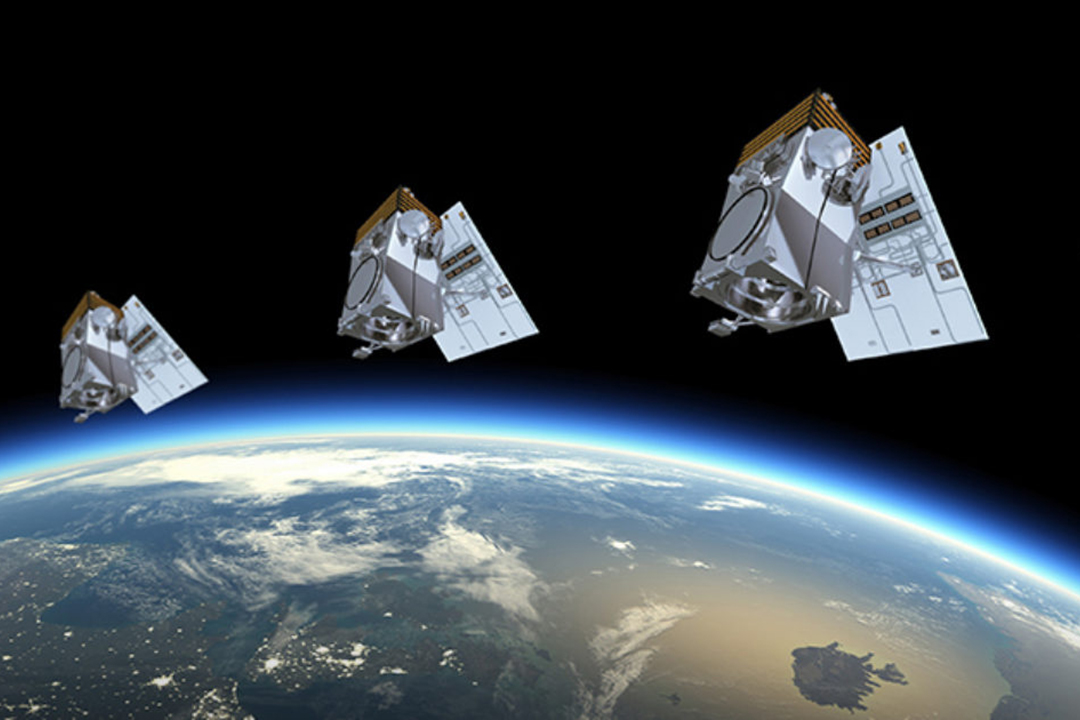
Improving life on Earth from space

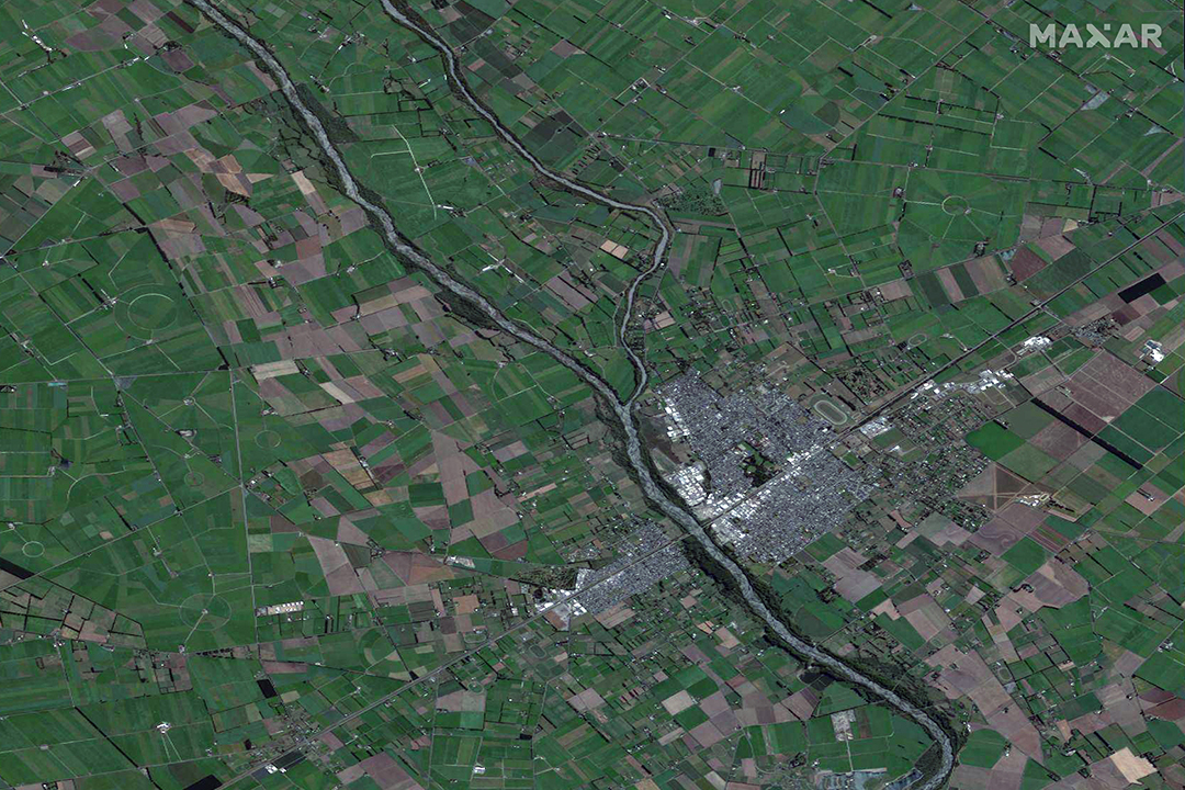
Lyttleton Port, New Zealand.

Image © 2021 Maxar Technologies Inc. All Rights Reserved.


MAXAR MISSION

At every opportunity, we seek to harness our capabilities For A Better World. This means improving our own technological processes and outputs and connecting visionaries—big and small—with the information, infrastructure and services they need to make the world a better place.

WorldView Legion

Launching in the near future, the WorldView Legion satellite constellation will provide unprecedented visibility across the planet with sub-30cm resolution and up to 15 revisits of New Zealand per day, allowing you to access both the most frequent and highest resolution satellite imagery available

SecureWatch

On-demand access to the world’s most recent high-accuracy, high-resolution satellite imagery and analytics, as well as imagery from Maxar’s archive dating back to 2000. Download imagery and consume basemaps and new captures directly through ArcGIS Desktop, or stream through an OGC web service of your preference

For a Better World

Maxar’s Open Data Program grants public access to data over affected areas to support response efforts as it becomes available. When unlikely events such as the Canterbury floods of July 2021 occur, you can leverage Maxar imagery in a timely manner to assist those in need.

Case Studies

From agriculture to utilities to humanitarian response, learn how we can help you with your mission

FURTHER INFORMATION:

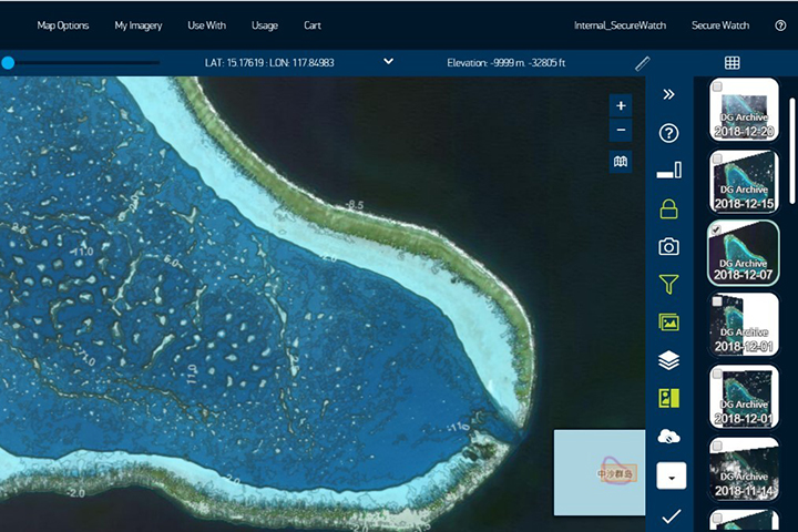
Discover – Browse the Maxar archive to find imagery suitable for your workflows, and contact us to arrange a free sample

Maxar Resources – Find answers to your questions and explore the capabilities on offer

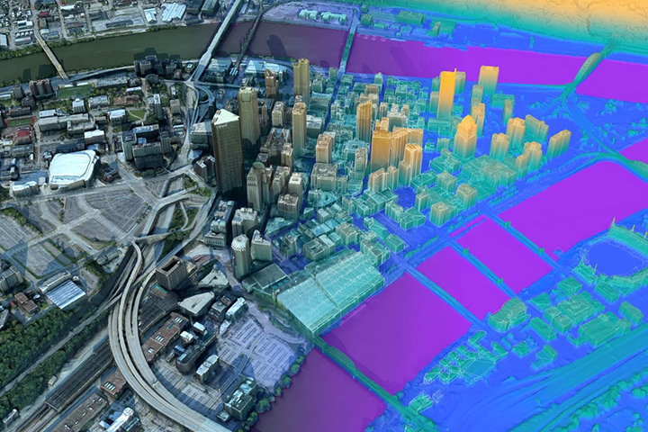
Esri Partner Imagery Solutions – Learn more about the various imagery offerings and solutions we provide and identify key differences between them


Newsletter Subscription Form