Planet

Planet is driven by a mission to image all of Earth’s landmass every day, and make global change visible, accessible and actionable.

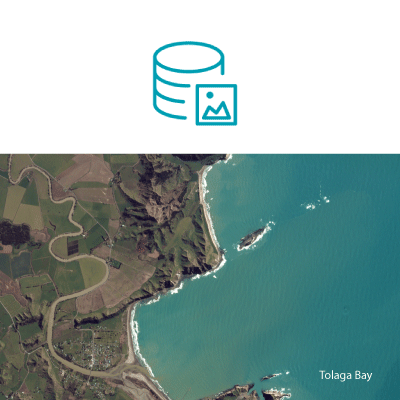
Tolaga Bay, New Zealand.
Image © 2016 Planet Labs Inc. All Rights Reserved.


PLANET’S MISSION

To image the whole world every day, making change visible, accessible, and actionable.

Integration with ArcGIS Pro

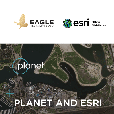
Esri is the global leader in GIS technology, mapping, and spatial analytics software. You can now directly buy Planet imagery from Eagle Technology, and unlock the power of frequent high-resolution satellite imagery in your GIS workflows. 

Planet directly integrates with ArcGIS Pro, so you can combine Planet imagery with the most authoritative GIS content and analysis platform.

Enrich your GIS

Enrich your GIS databases with the most up to date satellite imagery available today. Perform richer analyses combining other geospatial data sources, to get a comprehensive, nuanced understanding of the locations you want to monitor.

Empower Remote Workflows

Rethink your field operations and empower your organization by getting the latest satellite imagery in your GIS workflows. Monitor remote assets and ensure operational continuity wherever you are.

ArcGIS ready data in your GIS

Planet's surface-reflectance basemaps are cloud masked and surface reflectance corrected, reducing the need for data management and cleaning, allowing you to spend time on the analysis that truly matters.

Planet and Esri

ArcGIS tools combined with Planet data allow organizations to make better-informed decisions by using a single platform to consistently identify, map, and monitor change in our rapidly evolving world.

Newsletter Subscription Form