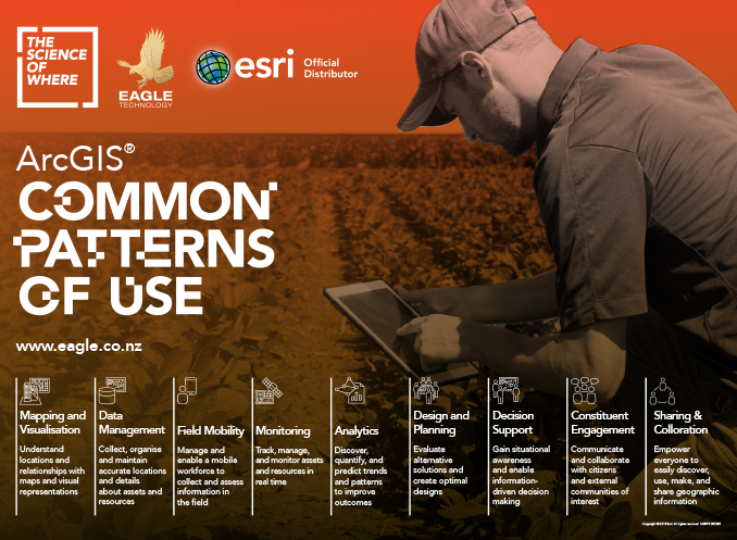
ArcGIS, The Mapping Platform for AgTech

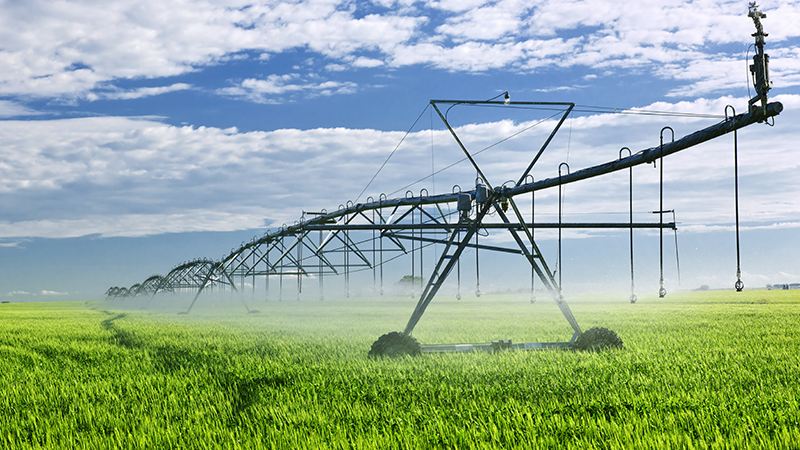
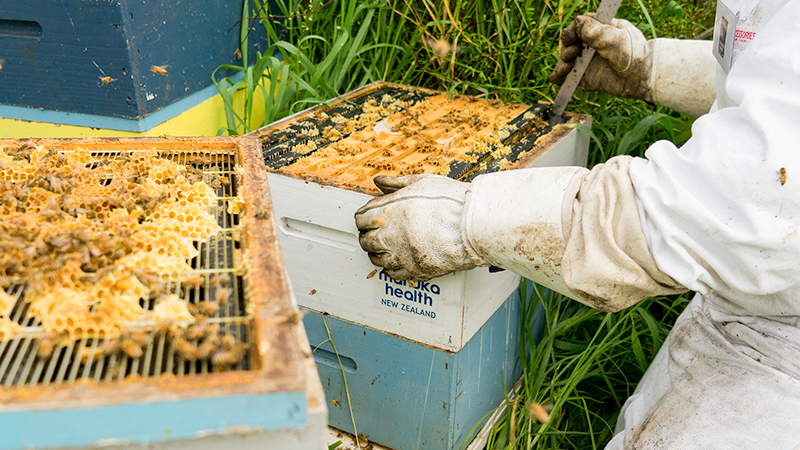
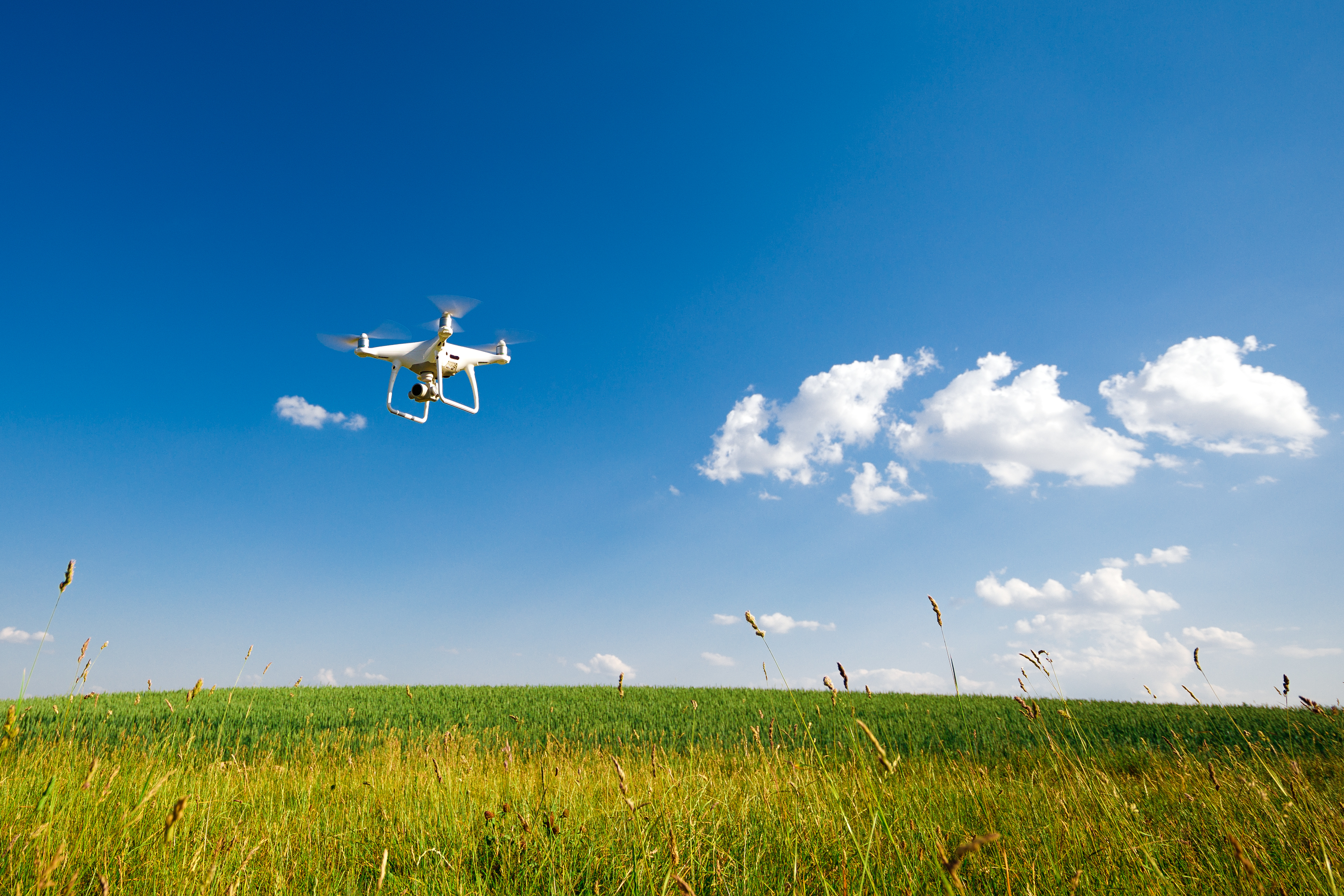
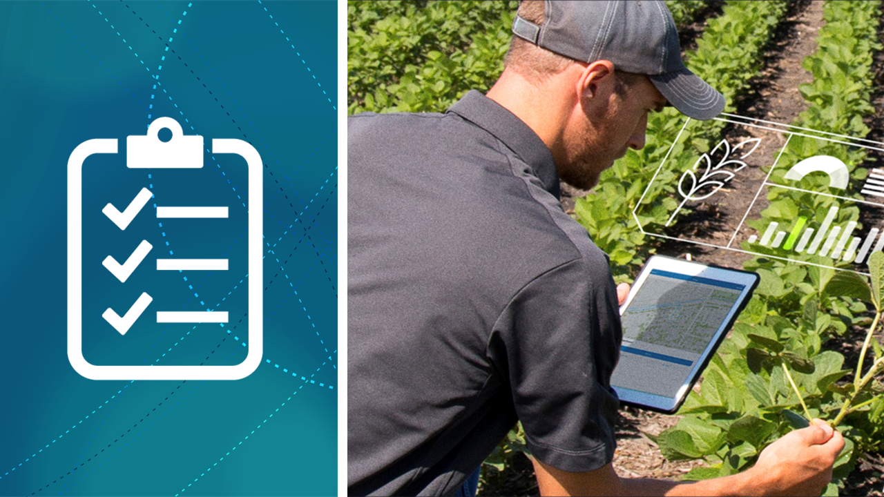
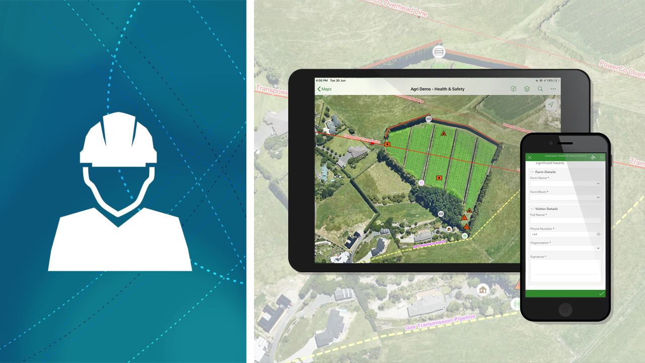
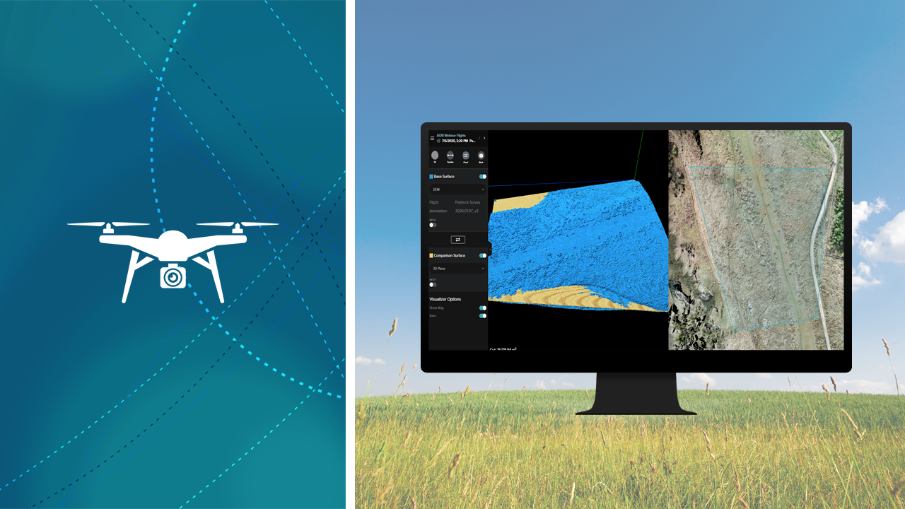
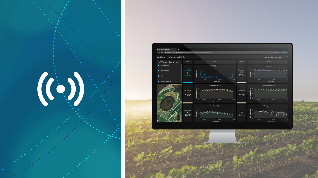
Integrate high-resolution imagery, field observations, and real-time data feeds to understand how to make the most of your resources.

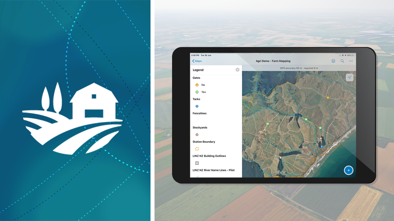
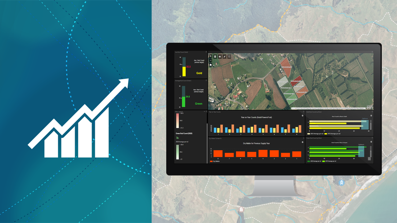
Collect, maintain, and analyse all your agriculture field data in one centralised system.

Maps have always played an important role in farm management. Now the maps are digital and that means farmers can do much more with them.

Fieldays TV

Watch Eagle Technology's Scott Campbell and panel guests Terry Copeland, Fed Farmers, Grant Jackson, Miraka and Chris Claridge, Potatoes NZ discuss the value of geospatial mapping tools in managing their businesses.

Eagle Technology Webinar - ArcGIS in Agriculture

Join us and explore how the ArcGIS Platform can help you tackle the unique challenges that face you in the agriculture, horticulture and viticulture industries, including Asset Management, Health and Safety, Farm Environment Planning, IoT Integration, and Drone Monitoring.

This webinar can now be viewed online here

Farmers on the Digital Map

Federated Farmers says digital mapping is now an important part of how it engages with members.

Innovation to the bee sector

Manuka Health New Zealand, one of our largest manuka honey producers, based in Te Awamutu, has taken its beekeeping operations to new levels of efficiency by using a mobile GIS solution.

Miraka harnesses innovation in geo-spatial mapping

Miraka – As part of our responsibility as kaitiaki of our land and environment and our focus on a nurturing and sustainable supply chain, Miraka uses GIS tools to help manage and maintain that commitment.

Using Maps for Farm Management

Maps have always played an important role in farm management. Now with technolo­gies like geographic information systems (GIS) the maps are digital and that, says, Eagle Technology's Lauren McArtney, means they can do much more with them.

Common Patterns of Use

A common set of GIS usage patterns exists across industries, independent of business models or environments. Because these patterns describe both geospatial capabilities and business capabilities, you can use them to understand how ArcGIS aligns with your needs.
Organisations that apply the patterns in their location strategy reap the greatest benefits and return on their GIS investments.

The Mapping Platform for Agtech Overview

The Esri ArcGIS platform provides agricultural operations with a single-point-of-truth for all geospatial information. The platform enables users to create and share spatial data to generate information and insights capable of improving workflows and maximising efficiencies.

Spatially Manage Your Farm

Visualizing your farm data is an important part of managing your farm. By combining your asset information with ready-to-use layers, you can build an accurate digital representation of your farm

Improve Compliance Management

Location plays a key role in recognising and managing on-farm environmental risks. Find, visualise and report on your farm’s resources and risks from one centralised location.

Better Understand Productivity

Successful produce leads to a successful farm. Keep track of daily operations and increase grower engagement through predicting and monitoring crop health and yield trends.

Make Farms Safer

Understanding the hazards on your farm is essential to safe practices. By capturing, monitoring and mitigating hazards, you can protect the people, property, and ecosystems on your farm.

Monitor with Drones

Make smarter decisions by using drone-captured imagery, LiDAR and other 3D products for land analysis and planning, infrastructure inspection and crop monitoring.

Integrate IOT

Build a smart view of your farm with real-time weather and sensor information to see how these influence your farm operations, productivity and assets.

Newsletter Subscription Form